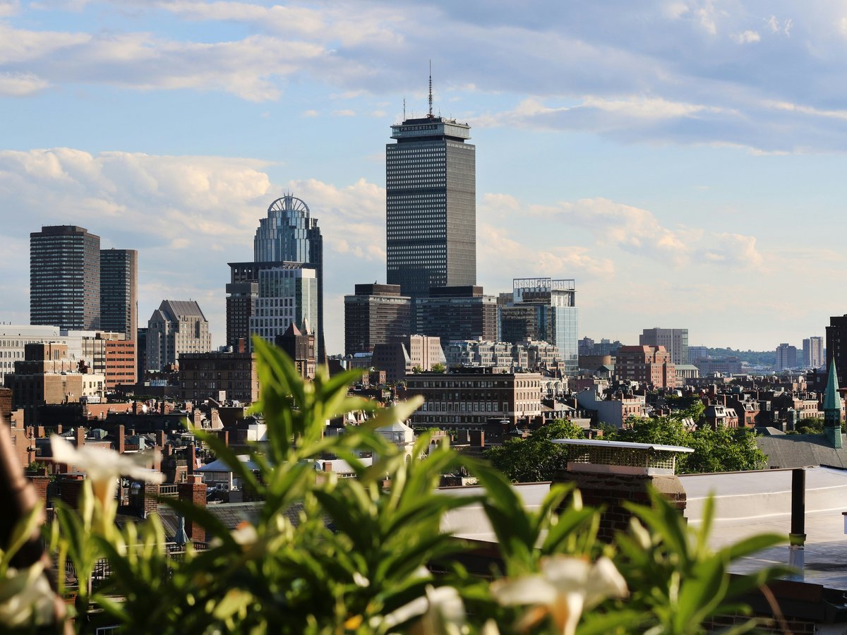
How do I get around Boston?
Walk and ride the T. Boston's MBTA subway, the oldest in the US since 1897, has 4 color-coded lines covering Downtown, Back Bay, Cambridge, and Logan Airport. A CharlieCard costs $2.40 per ride. Walk anything under 20 minutes. Use Uber or Lyft after midnight when the T stops running around 12:30 AM.
Boston's subway, called the T, opened in 1897 as the first subway tunnel in the United States. Four color-coded lines still run. The Red Line connects Harvard Square in Cambridge to South Station downtown. The Green Line, technically a streetcar, rattles west through Back Bay toward Fenway Park and splits into B, C, D, and E branches past Copley. You'll hear it before you see it. A grinding screech rises from the old surface-level tracks near Kenmore Square. The Orange Line runs through Chinatown and the Back Bay. The Blue Line matters most on arrival day because it connects Logan Airport to downtown Aquarium station in about 12 minutes for $2.40 with a CharlieCard. Get that card from a fare vending machine at any station, or tap a contactless credit card at the gate. The paper CharlieTicket costs $2.90 for the same ride. A 7-day LinkPass at $22.50 pays for itself by day 3 if you ride twice daily. Worth noting, the T stops running around 12:30 AM. No late-night service.
Boston is compact in a way that surprises first-timers from bigger American cities. Faneuil Hall to the North End is a 10-minute walk through cobblestone streets that smell like roasted garlic drifting out of the Italian restaurants on Hanover Street. Boston Common to Newbury Street in Back Bay takes 15 minutes on flat ground. The Freedom Trail, a 2.5-mile red-brick line set into the sidewalk since 1951, connects 16 sites from Boston Common to the Bunker Hill Monument in Charlestown. You can walk the full route in 90 minutes without stopping. Beacon Hill's sidewalks are narrow brick, uneven in spots, slippery after rain. Wear flat shoes with good grip. Summer heat here gets sticky. Today it feels like 34 degrees with 62% humidity, so carry water and duck into any of the air-conditioned shops along Charles Street when you need a break. The wind off Boston Harbor helps along the waterfront, but inland neighborhoods like the South End sit still and warm.
Uber and Lyft both run in Boston and cost roughly $12-18 from Back Bay to Harvard Square depending on surge pricing. After the T shuts down at 12:30 AM, these are your only real option. Traditional taxis exist but tend to cost $15-25 for the same trip, and you'll wait longer hailing one at 1 AM on a Saturday. Do not rent a car for a Boston visit. The street layout follows 17th-century cow paths and cart tracks. One-way streets change direction by neighborhood, rotaries appear without warning, and parking in a downtown garage runs $35-50 per day. Locals themselves avoid driving into the city center. If you need to reach Cambridge, take the Red Line from Park Street station. It's 12 minutes to Harvard, 15 to Kendall/MIT. For day trips to Salem or Gloucester, the MBTA commuter rail from North Station costs $7-13 depending on the fare zone.
Blue Bikes, the city's bike-share program, has roughly 400 stations across Boston, Cambridge, Somerville, and Brookline. A single ride under 45 minutes costs $2.95. A day pass is $10 for unlimited 2-hour rides. The Esplanade path along the Charles River is flat, shaded by old elm trees, and has clear sightlines across to the MIT campus. That said, bike lanes on busy roads like Massachusetts Avenue can feel tight, with buses passing close enough that you hear the hiss of their brakes. The MBTA ferry from Long Wharf to the Charlestown Navy Yard takes about 10 minutes and costs the standard $2.40 subway fare on a CharlieCard. It's the best way to reach the USS Constitution without walking the last stretch of the Freedom Trail through a tangle of construction barriers near North Washington Street. Mind you, the ferry schedule is limited, so check MBTA.com before counting on it for a specific departure.
On-the-ground: metro available · ride-hail apps work.
Primary modes of transit
- MBTA subway (the T)
- Walking
- Uber/Lyft
- Blue Bikes
- MBTA ferry
- MBTA commuter rail
Last verified by automated review (v1.7.2) on June 13, 2026. What is automated review?