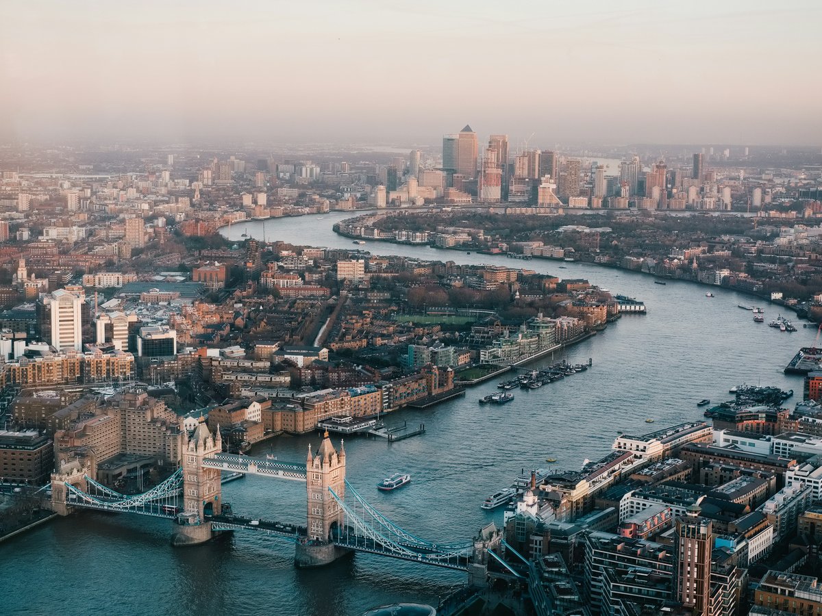
London's best open ground costs a visitor nothing but time, and this list is built around that. It runs from Trafalgar Square, laid out in 1840, to Kew Gardens, home of the world's largest collection of living plants, and in between are Royal Parks such as Hyde Park, Regent's Park and Richmond Park. St James's Park is listed Grade I as a park and garden, and two picks sit within UNESCO World Heritage Sites. The civic squares count too: Leicester Square dates from 1670, and Speakers' Corner sits inside Hyde Park. This list is for walkers, for people who would rather spend an afternoon than a budget, and for anyone who wants to see the city when it is not trying to sell them something. Bring good shoes, check opening hours where we give them, and plan to cover ground on foot between the central picks before you head out to the far ones.
-
1 Trafalgar Square
A Grade I listed civic square dating from 1840
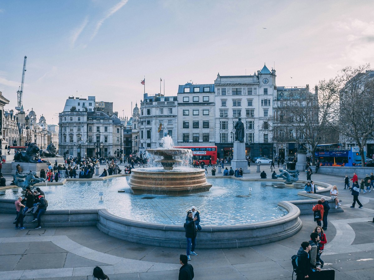
Laid out in 1840, Trafalgar Square is the public space where central London gathers, and one of the city's best-known tourist attractions. Its heritage listing is Grade I as a park and garden, which is an odd label for so much paving, but it tells you the square was meant as a civic room, not a traffic island. Skip the paid open-top bus tours that circle past it, walk in on foot, find a spot out of the flow of people and stand still for a while, because watching the city move through is the whole point of a square like this. Come early in the day and you get the proportions without the crowd.
Dates from 1840 · Grade I listed park and garden
-
2 Hyde Park
A Grade I listed Royal Park for long, unplanned walks
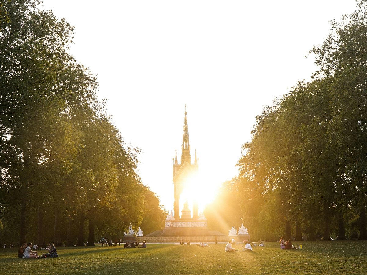
Most visitors treat Hyde Park, a Royal Park in London, as a shortcut between sights, and they miss the best of it. The landscape is listed Grade I as a park and garden, so the open lawns you are crossing are protected for what they are. Skip the guided bike tours that rush through on a timetable: this park rewards a slow, aimless loop with no fixed exit and a long sit on the grass. Check the official Royal Parks page before you go for closures or events, then bring a book, pick a patch away from the paths, and let the afternoon go.
Grade I listed park and garden
-
3 Kew Gardens
The world's largest collection of living plants
Kew Gardens, in the London Borough of Richmond upon Thames, holds the world's largest collection of living plants and is a UNESCO World Heritage Site, a designation it earns on the planting alone. Don't try to see all of it in one visit. The grounds are too large to cover properly in a day, and rushing turns a garden into a checklist. Pick one area, walk it slowly, and save the rest for another trip. Check the entry terms before you travel so the visit holds no surprises at the gate.
UNESCO World Heritage Site
-
4 St James's Park
Long opening hours, 05:00 to 00:00, in a Royal Park that dates from 1603
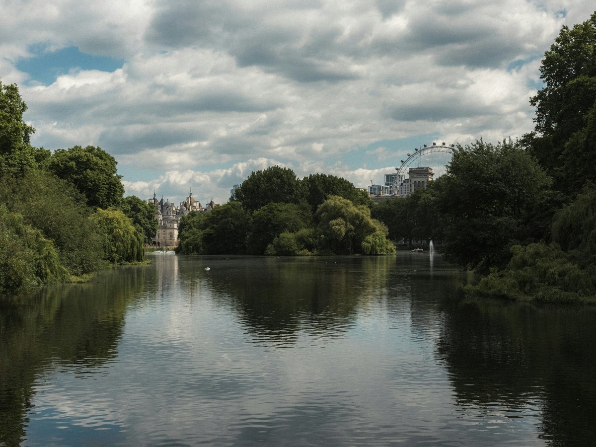
St James's Park, a Royal Park in central London whose history begins in 1603, is open from 05:00 to 00:00 and is listed Grade I as a park and garden. Those long hours are the real gift, because few central green spaces let you cross them at both ends of the day. Skip the midday crush. Locals go at first opening or late in the evening, when the paths empty out and the city noise drops a register. The official site is the place to check for anything that changes the schedule before you set out.
Dates from 1603 · Grade I listed park and garden
Hours: Mo-Su 05:00-00:00
-
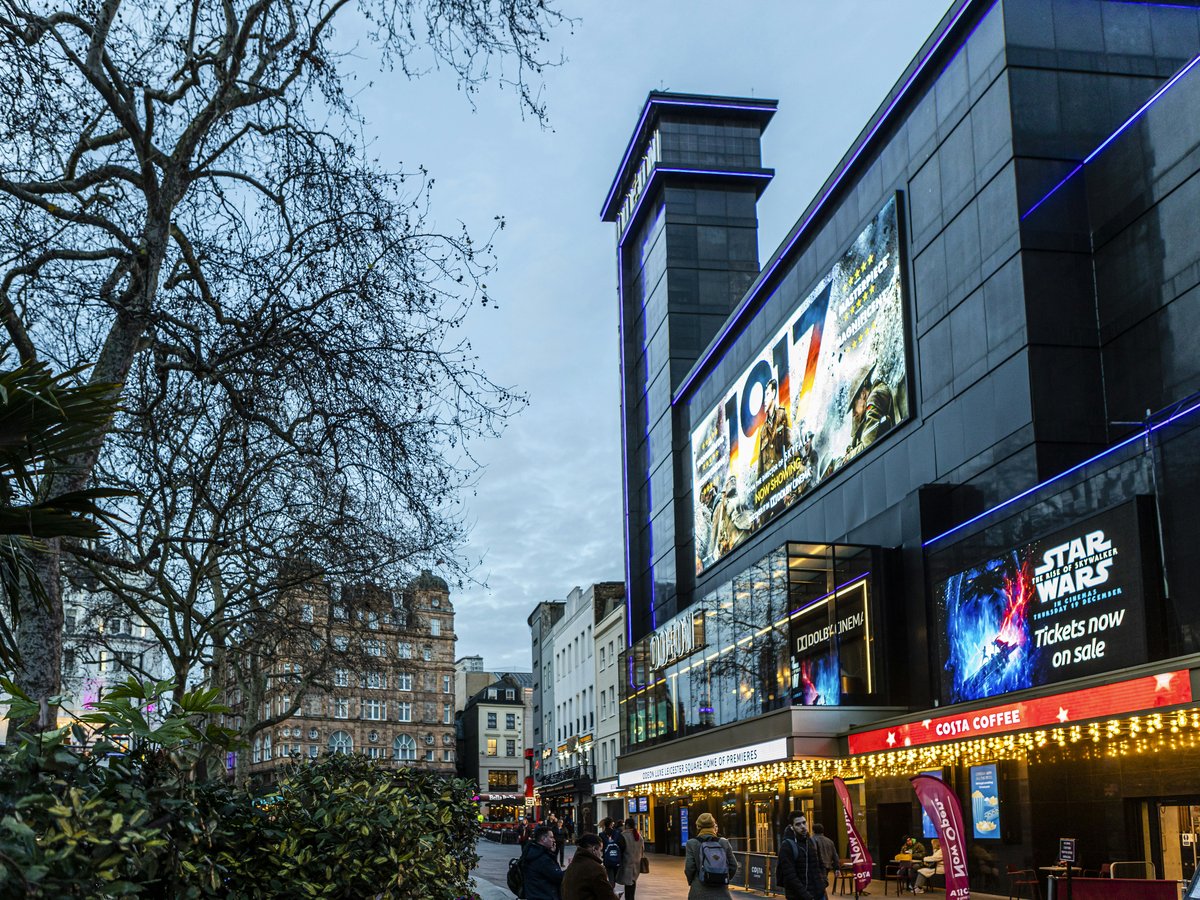
5 Leicester Square
Leicester Square, London, WC2H 7LUA square dating from 1670, open sunrise to sunset
Leicester Square, at WC2H 7LU in London, United Kingdom, is older than its reputation suggests: it dates from 1670 and keeps sunrise-to-sunset hours, so plan around daylight rather than the clock. The evening crush is not worth it: the square feels like a corridor more than a place when it fills. Come in the morning instead, when there is room to stand back and read the space as a square that has outlasted more than three centuries of London. Then move on; this is a stop to absorb, not a place to spend the day.
Dates from 1670
-
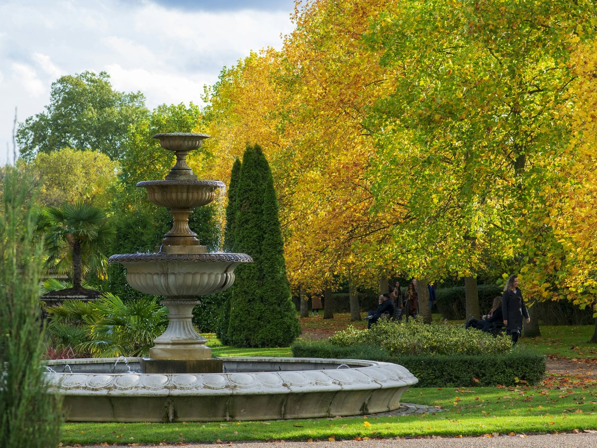
6 Regent's Park
A Grade I listed Royal Park open from 05:00 until dusk
Open from 05:00 until dusk, Regent's Park is a Royal Park of London listed Grade I as a park and garden, and it rewards an early arrival more than almost anything else on this list. The locals are in at opening, when the light is low and the lawns are quiet, and out before the day fills up. We'd do the same. Late afternoon is not the time to come: closing falls at dusk, and in winter that happens faster than you expect. Check the Royal Parks page for anything that might change your route, then give yourself a full morning.
Grade I listed park and garden
-
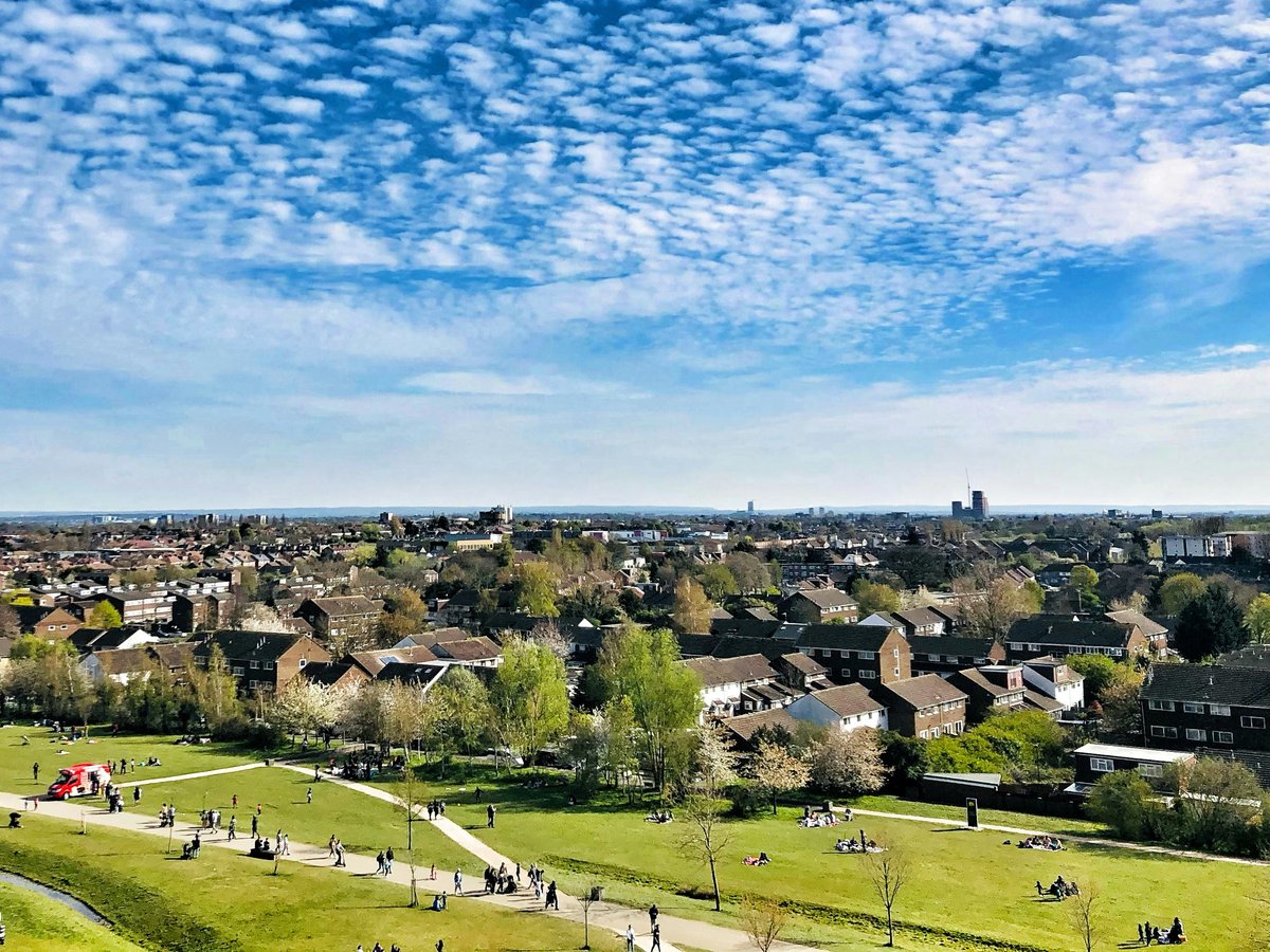
7 Green Park
A Grade II* listed Royal Park for an unhurried lunch on the grass
Listed Grade II* rather than Grade I, Green Park is one of the Royal Parks of London and the one to choose when you want grass without ceremony. This is a park to sit in, not to tour. The locals prefer it for lunch outdoors, and so should you: bring something to eat, find a spot under the trees, and give it an hour. Don't bother planning a route. Wander in, sit down, and let the break between sights become the reason to come. Check the official page before you go for anything that affects access.
Grade II* listed park and garden
-
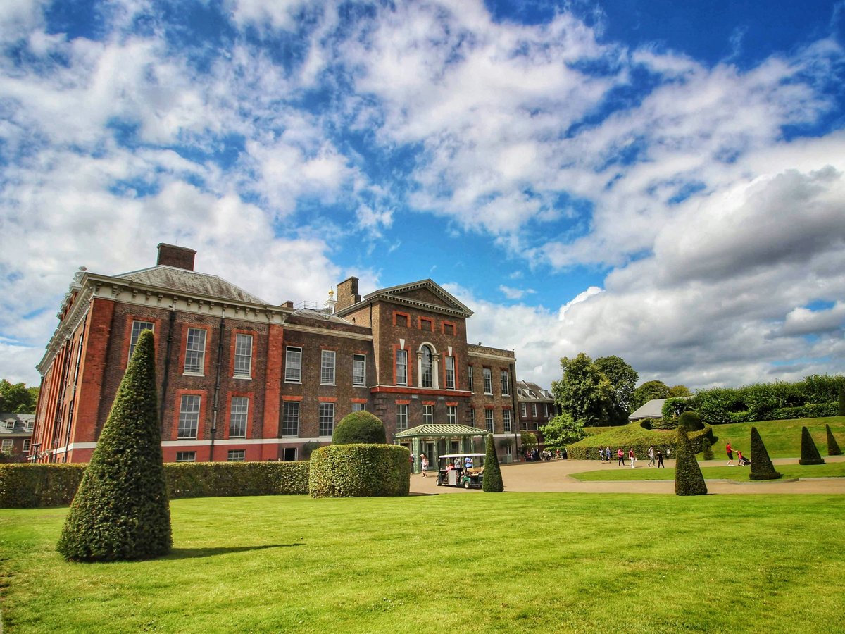
8 Kensington Gardens
A Grade I listed park and garden made for slow morning walks
Morning moves differently through Kensington Gardens, a park in London that carries a Grade I listing as a park and garden. Skip the weekend crush and the photo-stop crowds that treat it as a backdrop; the locals prefer a weekday walk, early, when it feels more like a neighbourhood park than an attraction. No need for a fixed route or a list of things to tick off. The pleasure is in the walking itself, the long sightlines and the room to think, and that Grade I listing means the landscape you cross is protected as it stands. Check the official Royal Parks page before you set out, in case of closures or events, then leave the phone in your pocket.
Grade I listed park and garden
-
9 Speakers' Corner
Hyde Park, London, W2 2EULondon's open-air stage for public speaking, inside Hyde Park
Speakers' Corner sits within Hyde Park at W2 2EU, a square in the City of Westminster where what you hear depends entirely on who turns up. Skip the recorded clips online; the whole point is to stand in the crowd and weigh the argument yourself. Some days it runs loud and lively, some days it goes quiet, and either way it is London talking to itself in public. Give it time, listen more than you speak, and walk away if the mood turns. Check the official website for background before you go, then let the park carry you on from there.
-
10 Greenwich Park
A former royal hunting park, part of a UNESCO World Heritage Site
A former hunting park turned Royal Park, Greenwich Park forms part of a UNESCO World Heritage Site and earns the journey out of the centre. Opening hours follow the seasons: 06:00 to 18:00 from October to February, 06:00 to 20:00 in March, April and September, and 06:00 to 21:00 from May to August. A late-afternoon visit in winter is worth skipping, because the early close will have you rushing for the gate. Summer evenings are a different matter, with long light and the park to yourself once the daytime crowd heads home. Check the Royal Parks page for anything that might shift those hours.
Part of a UNESCO World Heritage Site
-
11 Richmond Park
A Grade I listed Royal Park dating from 1625
Grade I listed as a park and garden, Richmond Park is a Royal Park in London whose history begins in 1625. Nearly four centuries on, it is the one place on this list that stops feeling like the city almost immediately. It is not worth the journey for a quick stroll: give it a full morning, wear proper shoes, and walk until you lose track of which way you came in. This is a park for long distances and big skies, not a lunchtime detour. Check the official page before you set off so nothing on the day catches you out.
Dates from 1625 · Grade I listed park and garden
This is an early version of the London list. We add picks as we test more places.
Last verified by automated review (v1.7.2_fame1017d-1015-716-20261017102041) on . What is automated review?