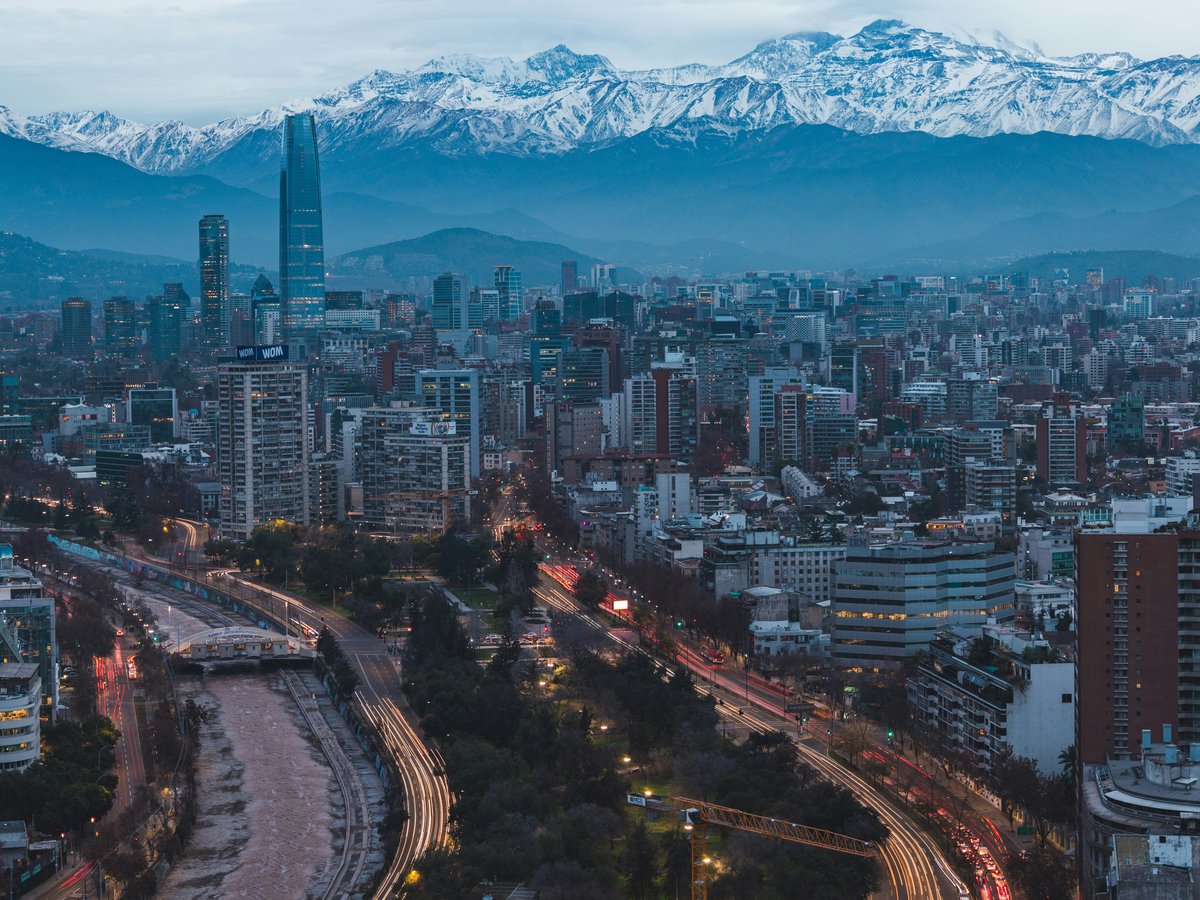
Santiago gives its best hours away free. The Andes are the backdrop and the plazas are the living room, and between them sit hills, parks, and squares that ask for no ticket and no reservation. This list is twelve of them, ranked by the shape they give to a day rather than by tourist wattage: a hill you climb before the smog thickens, a square where the country's history was rehearsed, a park wide enough to lose an afternoon in. They are for the visitor who would rather read the city off its benches and paths than off a museum wall, and for the resident who already knows that the good stuff in Santiago tends to be outdoors and unpriced. Every entry below is anchored to a verified location; the opinions are the editor's, the coordinates are the map's. Bring a water bottle, comfortable shoes, and the patience to let a plaza fill up around you before you decide what it means.
-
1 Santa Lucía Hill
Avenida Libertador Bernardo O'Higgins 451The downtown hill that turns a walk into a view
At Avenida Libertador Bernardo O'Higgins 451, Santa Lucía Hill rises out of the traffic like an argument with the grid around it. The rooftop bars selling you a Santiago skyline miss the point; locals climb this hill instead, because it is a hill in Santiago, Chile and the view is the reward for the stairs. The coordinates place it at -33.4403, -70.6442, which in practice means five minutes from the metro and a world away from it once the path bends. Go early, when the light is soft and the terraces are yours, or go at the end of the day when the city below starts to switch on. The hill is small enough to circle in an hour and steep enough that you will remember it in your calves the next morning.
Historical Monument of Chile
-
2 O'Higgins Park
Elipse del Parque O'Higgins, SantiagoThe southern green lung the city really uses
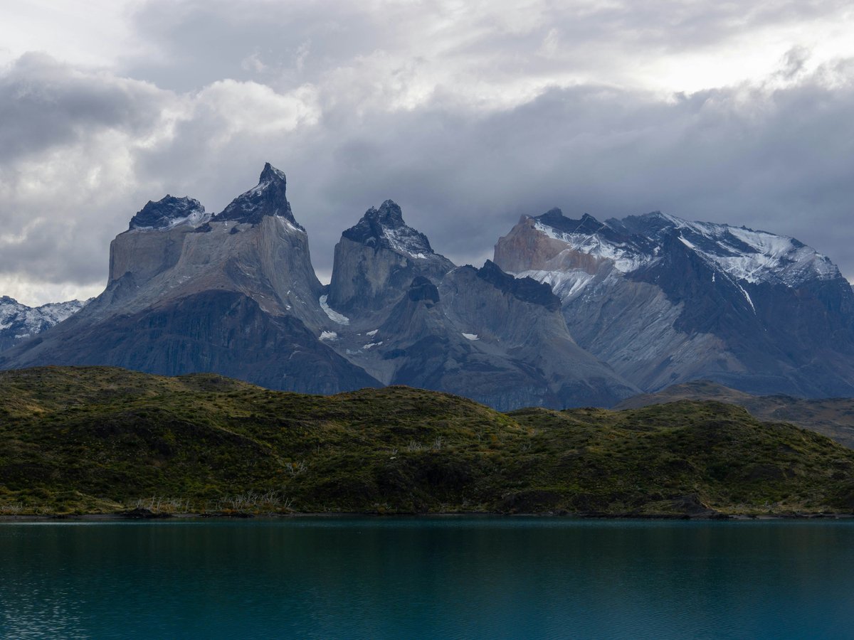
South of the centre at -33.4642, -70.6600, O'Higgins Park spreads out with the confidence of a park in Santiago, Chile that has been absorbing weekend crowds for generations. The smaller downtown squares won't show you how Santiago really spends a Sunday; locals bring the family here, with bicycles, kites, thermoses of tea and, inevitably, a football. The park carries Wikidata entity Q7071826 on the record, but on the ground it is simply wide, flat, and generous, with enough shade to sit through the hottest part of an afternoon. Come with time rather than a plan. The best hours are the ones you didn't intend to spend here, watching a pickup match slide from serious to social and back again as the light drops.
Dates from 1873
Hours: Tu-Su 09:00-21:00
-
3 Plaza de Armas
Plaza de Armas, SantiagoThe founding square, still the city's front room
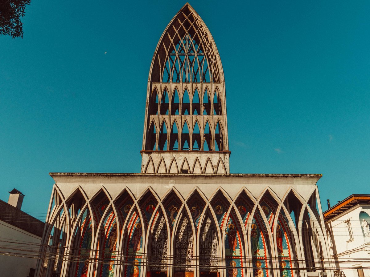
At -33.4380, -70.6504, Plaza de Armas sits where every Spanish-American city planted its heart, and where Santiago has kept it ever since: the main square of Santiago, Chile. Come at a slower hour than the tour groups: mid-morning on a weekday, or the long dusk after office release. The plaza carries Wikidata entity Q602232 on the map, but the reason to sit here is the traffic of the city itself: the chess players who claim their tables by 10:00, the shoe-shiners at the same corners they have worked for years, the preachers, the pigeons, the retirees who arrive with a folded newspaper and no intention of leaving soon. Order nothing, buy nothing, watch everything. This is Santiago at its most honest.
-
4 Quinta Normal Park
A public park with museums scattered across its lawns
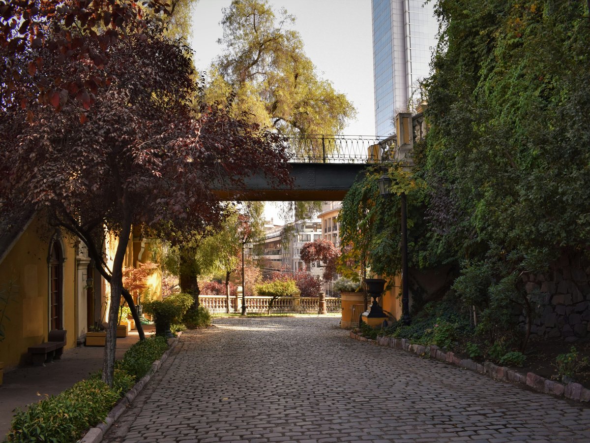
Quinta Normal Park anchors the west side at -33.4407, -70.6826 and stays what it has always been: a public park in Santiago, Chile that treats its visitors like adults. The manicured showcase gardens elsewhere in town are a different proposition; the loose, tree-shaded lawns here let a family spread a picnic without anyone shooing them off. The park holds Wikidata entity Q3363897 on the record, and on foot it is exactly the size a good park should be: big enough to get lost in for an hour, small enough to circle before lunch. Come on a Sunday and the paths fill with runners, dog-walkers, and the slow parade of families that is Santiago's real weekend ritual. Bring a book. You will not read it.
Typical Zone (Chile)
Hours: Tu-Su 08:00-20:00
-
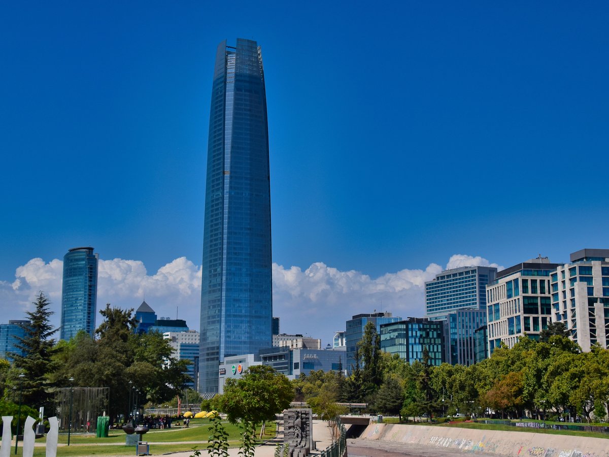
5 Plaza Baquedano
The city's rally-point, for better and for worse
At -33.4370, -70.6344, Plaza Baquedano stands where downtown meets Providencia and where Santiago has for decades come to celebrate, protest, and mourn: an urban square in Santiago, Chile that is impossible to read separately from the country's political weather. The plaza carries Wikidata entity Q2415377 on the map. The sanitised viewing decks won't teach you this city; a slow lap here, on a weekday when the traffic is loud and the plaza is just itself, teaches more about Santiago than an afternoon of guided commentary. Come without expectations. Some days it is a roundabout with pigeons, some days it is a stage, and the difference between the two is the whole reason it matters. Read the walls, watch the metro exit, and give the square the time it asks for.
Dates from 1875
Hours: 24/7
-
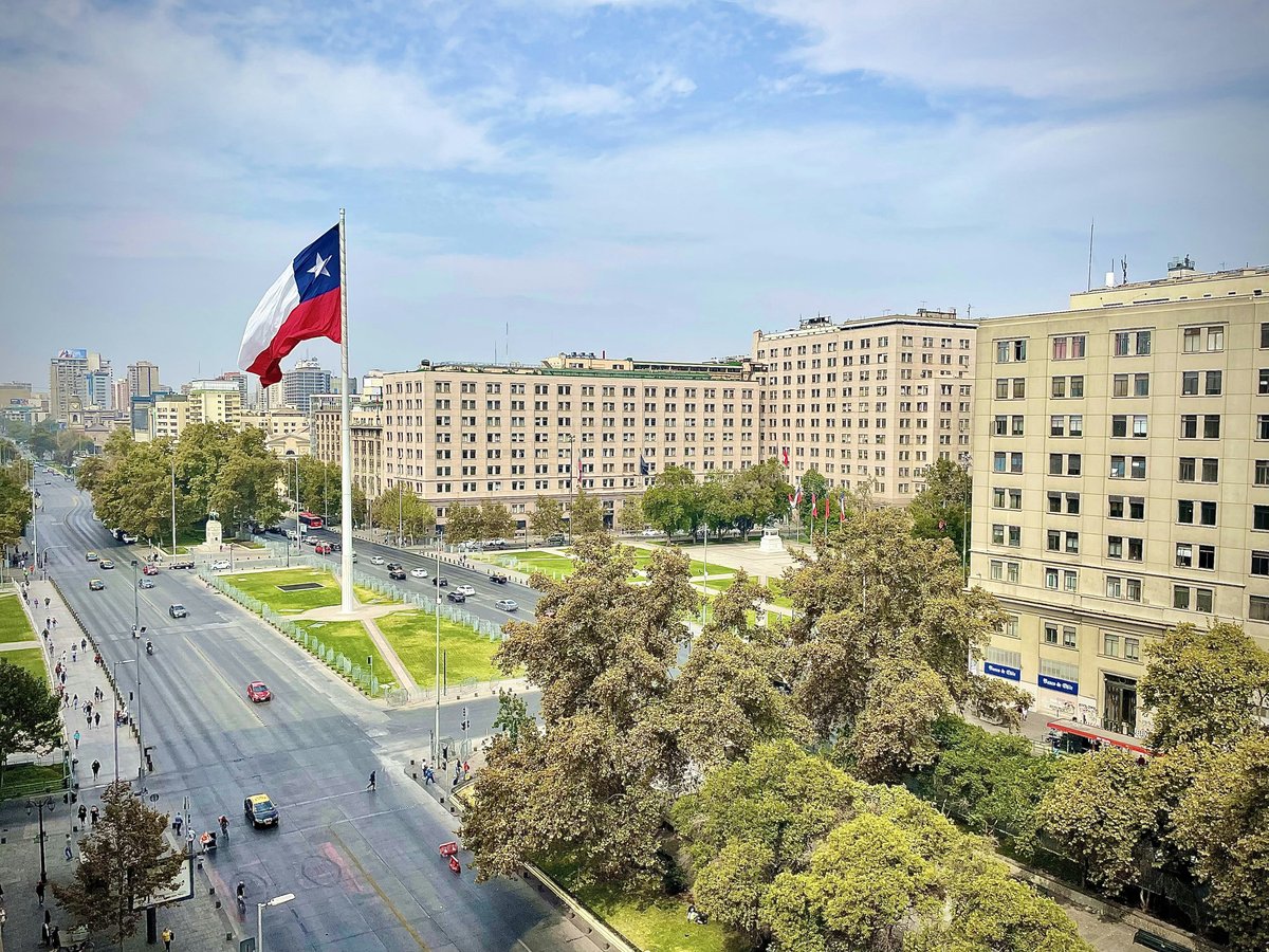
6 Plaza de la Ciudadanía
Civic architecture done as an open floor
Plaza de la Ciudadanía opens up at -33.4442, -70.6536, a public square in Santiago, Chile designed to be crossed slowly rather than admired from a bench. No single vantage point does it justice; locals treat the plaza as a corridor between the presidential quarter and the museum blocks below, and the best way to read it is to walk its full length at their pace. The square holds Wikidata entity Q9060973 on the record, and on the ground it feels deliberately austere: hard surfaces, long sightlines, the palace at your back. Come at the top of the hour when the change of ceremony fills the space with sound, or late on a weekday when it empties and the geometry does the talking. It is not a plaza that flatters you, and that is its virtue.
-
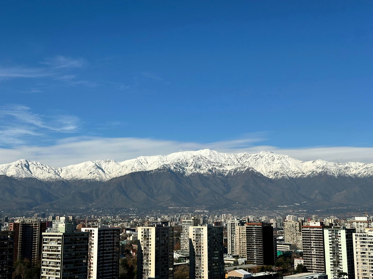
7 Plaza Brasil
A neighbourhood square that still belongs to its neighbourhood
West of the centre at -33.4406, -70.6658, Plaza Brasil is the kind of square that a city needs more of and rarely gets. It carries Wikidata entity Q6079452 on the record, but the reason to walk over is that the plaza still functions as an actual neighbourhood living room: kids on the play structures, teenagers on the benches, a slow trade of dog-walkers around the edge. The polished tourist plazas closer to the hotels are a different city; locals bring their evenings here, and it shows. Come at the golden hour on a weekday, when the light softens the surrounding facades and the square fills without effort. Buy an ice cream from whoever is passing with a cart, find a bench, and stay long enough for the rhythm of the block to declare itself. It will.
Hours: 24/7
-
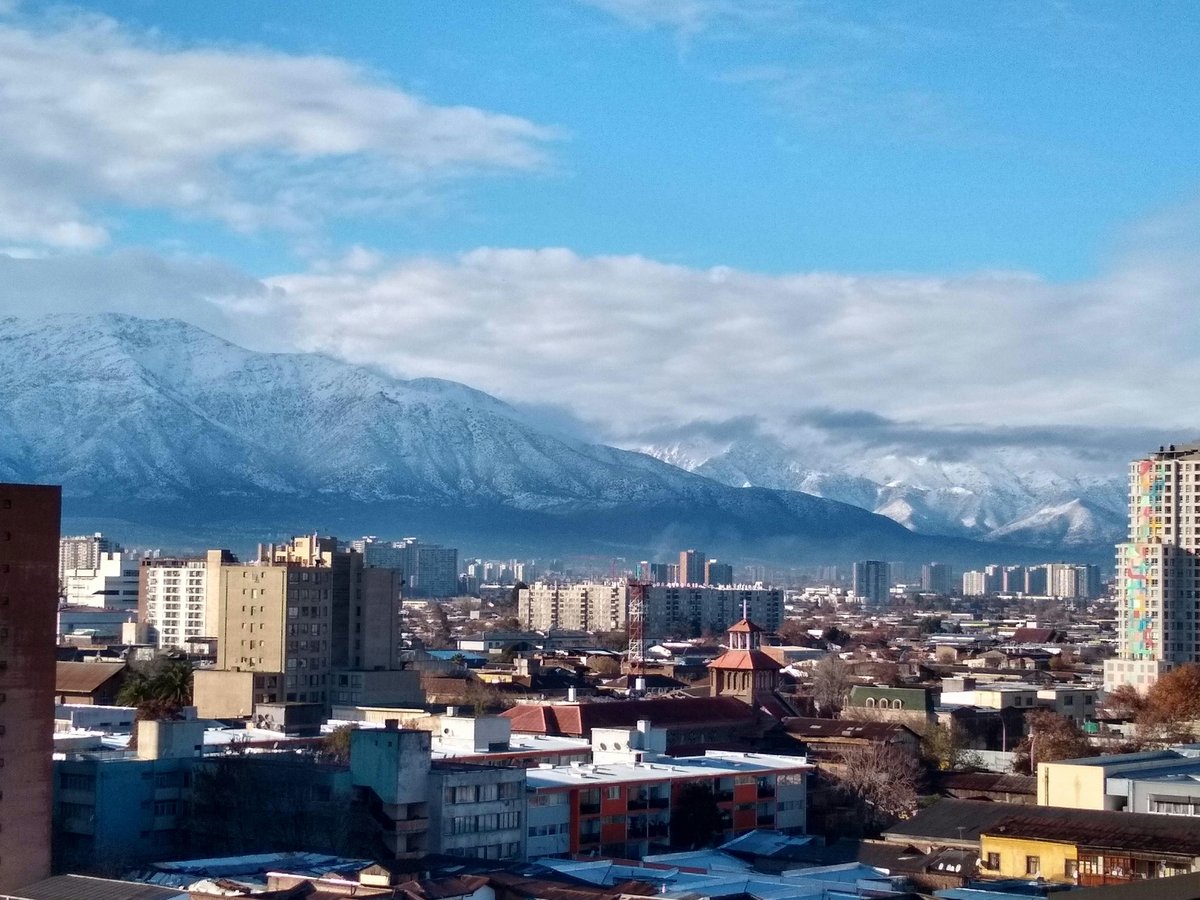
8 Plaza Yungay
Libertad, SantiagoThe heart of a barrio that refuses to be gentrified quietly
Plaza Yungay sits at -33.4376, -70.6740 and is, in the bundle's laconic phrasing, a square, which undersells it. The plaza carries Wikidata entity Q118193 on the map, and on the ground it anchors a barrio that has kept its own voice through decades of pressure to become something else. Locals head here for the small independent cafés and the murals rather than the picture-postcard downtown; follow them for a truer Santiago afternoon. Skip the neatly restored heritage quarters closer to the palace and give this one a couple of unhurried hours instead. Walk the streets that feed into the plaza, note which shopfronts have been there for generations, and let the neighbourhood explain itself at its own pace. It is not curated, and that is exactly why to come.
-
9 Almagro Park
The long, narrow green strip that stitches a district together
South of the historic centre at -33.4520, -70.6535, Almagro Park runs as an urban park in the city of Santiago, Chile: a thin ribbon of green that the surrounding blocks lean on hard. The park carries Wikidata entity Q6061979 on the record, but its real character is in the everyday use: runners at 07:00, retirees on the benches by 10:00, students sprawled on the grass by 15:00. The big-name attractions are elsewhere; what this strip offers is a half-hour of Santiago at its most ordinary and its most honest. Locals treat it as an extension of their apartments, and a visitor who walks its length gets a section of the city no tour will show them. Sit on one of the benches long enough to eavesdrop and you will hear the neighbourhood at work.
-
10 Plaza de la Constitución
The formal square in front of the palace, walked slowly
In front of the presidential palace at -33.4417, -70.6542, Plaza de la Constitución is a town square in Santiago, Chile and it wears the formality that role demands. The plaza holds Wikidata entity Q7203697 on the map. The packaged palace tours treat it as a background; read the square on foot instead: the geometry is deliberate, the flag lines are strict, and the presence of the state is not decoration but the point. Locals cross it briskly; the visitor should walk it slowly and note which windows are lit and which are shuttered. Come at the change of guard for the ceremony, or come at midday to see civil servants spilling out to their lunch and the plaza softening for an hour. It is a working square in a working capital, and that is worth an unhurried lap.
-
11 Parque de los Reyes
The riverside park where the city runs, skates, and breathes
Along the north edge of the centre at -33.4283, -70.6698, Parque de los Reyes stretches as a park in Santiago commune, Chile and does the honest work of an urban riverside park: running, skating, dog-walking, and the low-grade social loitering that any good linear park invites. The park carries Wikidata entity Q16616280 on the record. Pay-to-enter viewpoints won't show you Santiago moving; the paths here will, and the visitor who joins the locals gets a cross-section of the city on wheels and feet. Come at 07:00 with the runners, or at 18:00 with the after-work crowd, and you will read two different cities from the same asphalt. Bring water. There are drinking fountains but no promises about their pressure.
Dates from 1992
-
12 Bustamante Park
Ramón CarnicerThe Providencia strip park that anchors a whole neighbourhood's evenings
In Providencia at -33.4408, -70.6322, Bustamante Park runs as an urban park in Providencia, Santiago de Chile and does what a good neighbourhood park is supposed to do: quietly, consistently, and without asking for credit. The park carries Wikidata entity Q5002084 on the map. The marquee green spaces the guidebooks push are a different register; follow the locals here instead: parents with strollers on the shaded paths by 10:00, teenagers claiming the benches after school, joggers threading through both at 18:00. Come with no agenda beyond finding a bench and giving the park a full hour. The pleasure is watching a Santiago neighbourhood take its evening: the small trades of hello and goodbye, the dogs off-leash where they shouldn't be, the light dropping through the plane trees. It is unshowy and it is exactly enough.
Last verified by automated review (v1.7.2_onboard-santiago-attractions-free-2026-08-28) on . What is automated review?