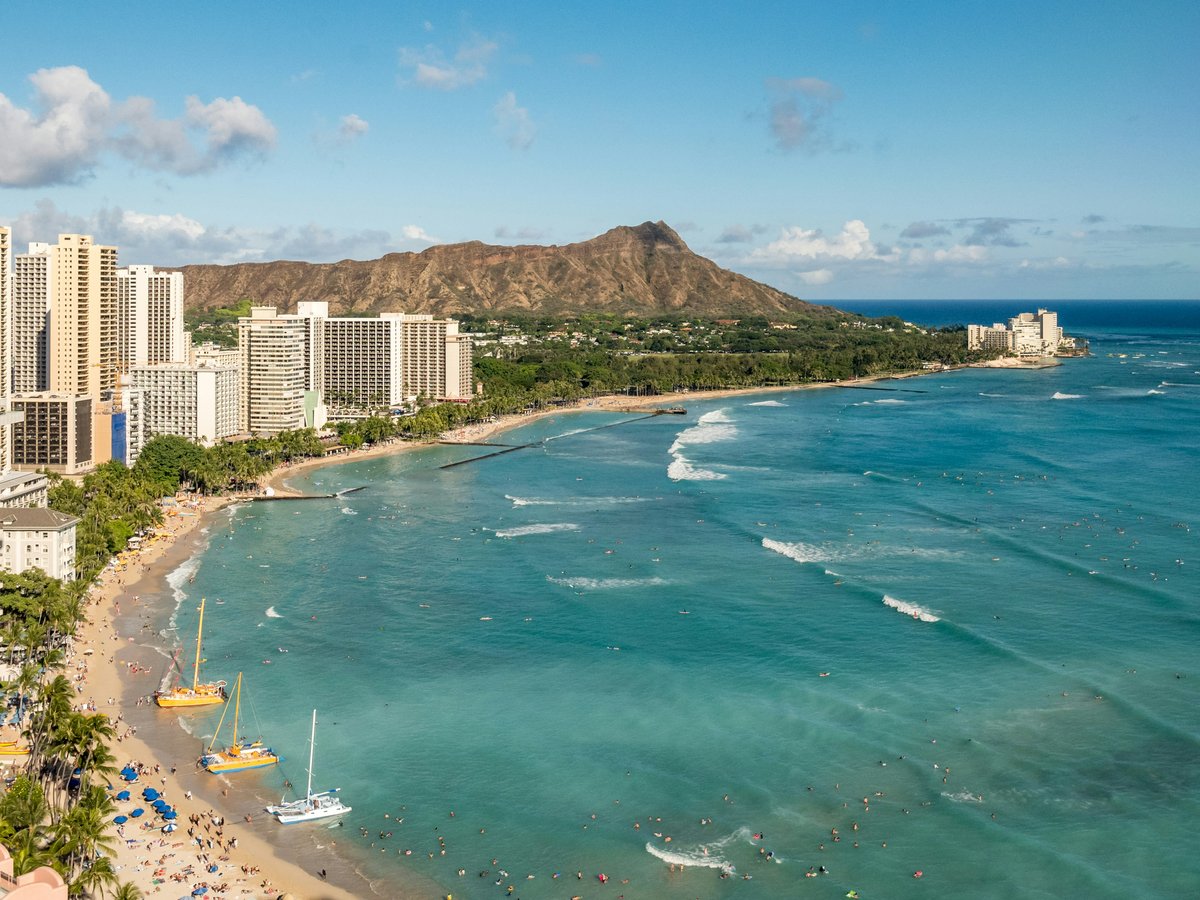
Honolulu's best free hours are spent outdoors, and this list is for the visitor who would rather walk a garden path than queue for a ticketed show. Eleven green spaces follow, running from a botanical garden dating from 1853 to a marsh listed as a Ramsar site, with the list opening on a regional park that is open from 05:00 to 24:00. Five are gardens, each with its own temperament, and their addresses range from North Vineyard Boulevard out to Luluku Road in Kaneohe. The parks make up the rest: beach, marsh, and state land. Admission rules and hours change, so check each place's current policy before you set out; where opening times are recorded, they appear below. This list is for early risers, slow walkers, families stretching a budget, and anyone who has had enough of the hotel pool and wants the island on its own terms.
-
1 Queen Kapiʻolani Regional Park
Open from 05:00 to 24:00, the longest window on this list
Queen Kapiʻolani Regional Park opens at 05:00 and stays open until 24:00, which is why it leads this list. Skip the paid sunrise excursions that sell you a morning you can have for the price of a walk; this public park in Hawaii asks nothing of you but the effort of turning up. Come early, before the heat settles, with coffee in a paper cup and nowhere to be, then come back late when the day crowd has thinned and the evening has cooled. It works as the first stop of a Honolulu trip and as the last one, and on a jet-lagged first night that long window counts for a lot.
Hours: 05:00-24:00
-
2 Foster Botanical Garden
50 North Vineyard BoulevardA botanical garden dating from 1853 and listed on the National Register of Historic Places
Dating from 1853, Foster Botanical Garden at 50 North Vineyard Boulevard is the place on this list with the most history behind it, holding a listing on the National Register of Historic Places so the grounds count as heritage as well as horticulture. Don't bother with the orchid arrangements in resort lobbies; a botanical garden in Honolulu, Hawaii with this much time behind it makes a better hour. Walk slowly, read the labels, and stop wherever the shade is deepest. It is a garden for people who like to know what they are looking at, and for anyone who wants a quiet break from the city around it.
Dates from 1853 · National Register of Historic Places listed place
-
3 Liliuokalani Botanical Garden
123 North Kuakini Street, Honolulu, HI 96817A city garden open 07:00 to 17:00
Liliuokalani Botanical Garden sits at 123 North Kuakini Street, Honolulu, HI 96817, with hours that run 07:00 to 17:00 every day except Dec 25 and Jan 01, so if you are visiting around the new year, check those dates first. We'd skip the crowded lookout points on a weekday morning and come here at opening instead, when the air is cool and the light still slants low. Bring water and a book, and give it longer than you think it needs. The regular hours make it easy to fold into a day already full of other plans, and it has a way of rewarding whoever stops moving for an hour.
-
4 Lyon Arboretum
An arboretum and botanical garden dating from 1918
Dating from 1918, Lyon Arboretum brings together an arboretum and a botanical garden in Honolulu, meaning one visit covers two kinds of plant collection. It sits a little north of the 21st parallel and west of the 157th meridian, which is what the coordinates tell you; the place itself tells you a great deal more. We'd skip the souvenir-shop leis as your introduction to island plants, because an arboretum with more than a century behind it is a better teacher. Check the official website at manoa.hawaii.edu/lyon for current access before you go, then clear a morning for it. Comfortable shoes matter here, and so does patience.
Dates from 1918
-
5 Moanalua Gardens
2850-A Moanalua Road, Honolulu, HI 96819A park at 2850-A Moanalua Road, away from the beachfront itinerary
Moanalua Gardens, at 2850-A Moanalua Road, Honolulu, HI 96819, is a park in Honolulu worth going out of your way for. If your itinerary has been treating the city as a coastline interrupted by shopping, this address shows a different register: greener, slower, less performed. Spread a blanket, let the children run, and stay as long as the afternoon holds. Before you set out, check the official website at moanaluagardens.com, because access arrangements can change. Most visitors to Honolulu forget to leave an unscheduled hour in their day; this is where to spend one.
-
6 Ho'omaluhia Botanical Garden
45-680 Luluku Road, Kaneohe, HI 96744A Kaneohe garden dating from 1982, open 09:00 to 16:00
Ho'omaluhia Botanical Garden opens its grounds at 45-680 Luluku Road, Kaneohe, HI 96744, between 09:00 and 16:00. It is a garden in Kaneohe, Oahu that dates from 1982, making it the youngest of the gardens on this list. Skip any drive that settles for a roadside photograph; this place deserves a proper walk. That 16:00 close is real, so arrive in the morning and give yourself enough time. Check the city's page at honolulu.gov before you go, pack a picnic, wear shoes that can handle a damp path, and don't plan anything else for the day.
Dates from 1982
Hours: 09:00-16:00
-
7 Koko Crater Botanical Garden
408 Kealahou Street, Honolulu, HI 96825A botanical garden on the eastern end of Oahu, open sunrise to sunset
On the eastern end of Oahu, Koko Crater Botanical Garden catches first light and keeps sunrise-to-sunset hours. You will find it at 408 Kealahou Street, Honolulu, HI 96825, and it dates from 1958. The hurried photo stop that so many east-side drives settle for does not do it justice; give it the whole morning. The hours follow the sun, which means the earliest visitors get the coolest walk, and that is reason enough to set an alarm. Bring a hat and more water than you think you need; this is the list's best case for getting up early, and the garden makes the effort worthwhile.
Dates from 1958
-
8 Kawai Nui Marsh
A wetland park designated a Ramsar site
Listed as a Ramsar site, Kawai Nui Marsh carries a wetland designation that sets it apart from the manicured gardens elsewhere on this list. It is a park in Honolulu County, Hawaii, and its record as a park dates from 2005; on the map it sits north of the 21st parallel and west of the 157th meridian. If what you want is open ground rather than clipped lawns, and a sense of the island as it was, this is where to come; a marsh asks you to slow down and look. Bring binoculars if you own a pair, keep to marked ground, and come for the quiet more than for any single view.
Dates from 2005 · Ramsar site
-
9 He‘eia State Park
An 18.5-acre state park near Kaneohe
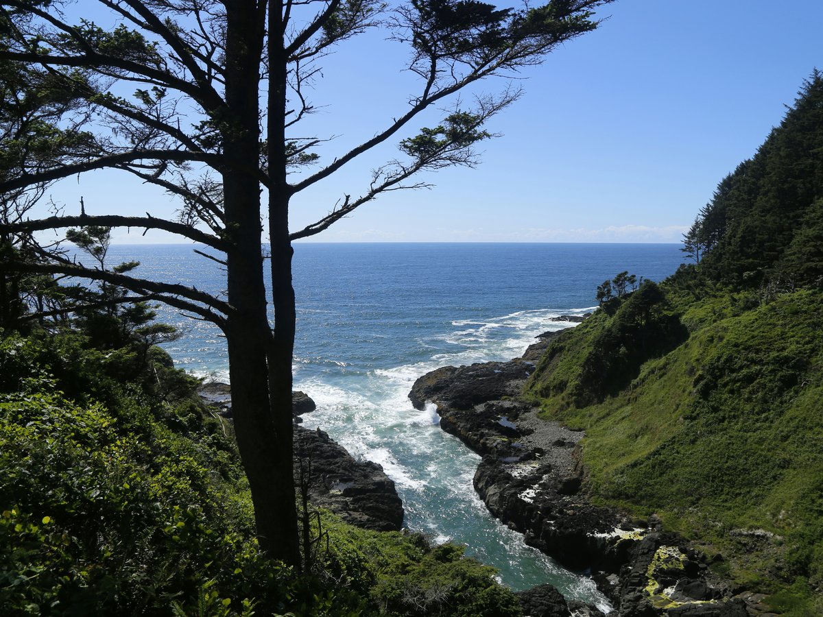
He'eia State Park covers 18.5 acres near Kaneohe on Oahu, small enough to walk end to end in one unhurried hour without a plan or a guide. The park dates from 1977, and the official website at heeiastatepark.org is where you check current programmes and access before you go. If an hour is all you have spare, skip the big-ticket attractions; the compact size is the appeal. You can arrive, wander, sit for a while and leave without feeling you missed half of it, which is rare on an island that usually asks for a whole day.
Dates from 1977
-
10 Ala Moana Beach Park
A public beach park in Hawaii
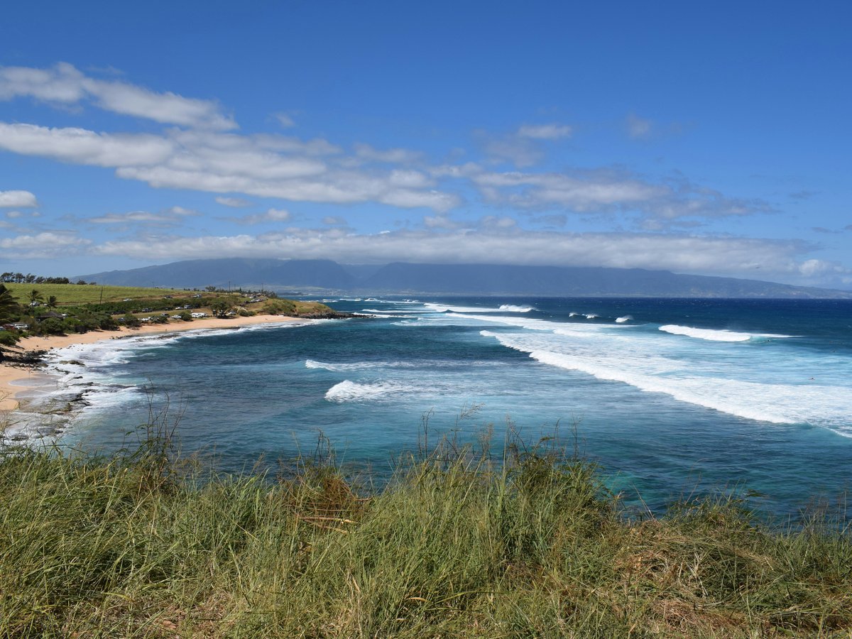
Plain on paper, Ala Moana Beach Park is described as a park in Hawaii, and that modesty undersells it. It sits just north of the 21st parallel and west of the 157th meridian, but you will find it by name, not by numbers. Skip the hotel-front sand where every chair and umbrella comes with a price; a public beach park is the better afternoon and the more honest one. Bring your own towel, your own shade and your own snacks, then stay until the light goes gold. Few free outings in Honolulu are as easy as a towel spread on public sand, and this is the one on the list.
-
11 Kualoa Regional Park
A regional park on Oahu that closes the list
Saved for last, Kualoa Regional Park is a park in Oahu, Hawaii, and that short description conceals a great deal. It lies north of the 21st parallel and west of the 157th meridian, which is a dry way of saying look it up on a map before you go. The packaged half-day tours move you on before you have properly sat down; the locals know a regional park is meant for lingering. Pack lunch, bring a layer for the wind, and plan to stay. It closes the list because it rewards the visitor who has learned to slow down by now, and by your last stop you should have.
This is an early version of the Honolulu list. We add picks as we test more places.
Last verified by automated review (v1.7.2_fame1017d-1015-1267-20261017092706) on . What is automated review?