How do I get around Washington DC?
Washington DC's Metro and walking cover 90% of a visit. Tap a contactless credit card or phone at any WMATA faregate. Fares start at $2.25 per ride. Six lines reach the National Mall, Capitol Hill, and Dupont Circle directly. Uber and Lyft fill the Georgetown gap and post-midnight returns after Metro stops running.
Washington DC's Metro and your phone's tap-to-pay wallet cover almost every destination a first-time visitor needs. Six color-coded WMATA lines connect Reagan National Airport directly to the National Mall, Dupont Circle, and Capitol Hill. Fares are distance-based, currently around $2.25 off-peak and up to $6.00 during weekday rush (before 9:30am and 3:00 to 7:00pm). You can tap a contactless credit card or phone at the faregates, so a physical SmarTrip card is no longer necessary for most visitors. Load $20 and that covers 6 to 8 rides depending on distance. WMATA's stations tend to feel cavernous. Deep-bore tunnels at Dupont Circle and Woodley Park put you on escalators that run 3 to 4 minutes, and at least one escalator is likely broken on any given day. You'll smell warm rubber and hear trains echoing off the coffered concrete vaults that architect Harry Weese designed for the system's 1976 opening.
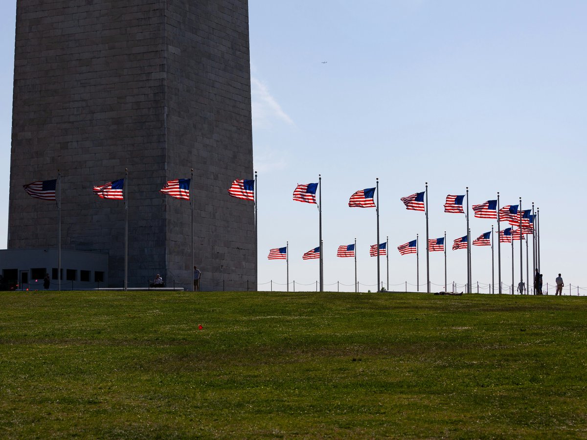
The National Mall looks walkable on a phone screen. The 3.2 km from the Capitol steps to the Lincoln Memorial says otherwise, and in August the heat index regularly reaches 38°C with humidity you can taste on your lips. Pavement radiates warmth back at you, and shade between the Washington Monument (completed 1884 after 36 years of construction) and the World War II Memorial is almost nonexistent. Bring at least 1L of water. In cooler months, the Mall is one of the best walks in any American city, flat and wide with the smell of cut grass and the crunch of gravel under runners' shoes. Mind you, Georgetown (founded 1751, predating Washington DC itself) has no Metro station at all. You'll need a bus along M Street NW or a ridehail to get there.
Uber and Lyft both operate across Washington DC with fares of $8 to $15 for trips within the central grid. Surge pricing hits on Friday and Saturday nights around 14th Street NW and the U Street corridor. Capital Bikeshare, a docked system with over 700 stations, charges about $2.50 for a single 30-minute ride or $8 for a day pass. The red bikes sit everywhere, and protected lanes along Pennsylvania Avenue and 15th Street NW feel safe behind concrete barriers. For the Smithsonian museums (all free admission, a group founded in 1846), walk. For Georgetown or Adams Morgan after dark, ridehail. Washington DC's grid uses lettered streets east-west and numbered streets north-south, but the quadrant matters. 1st and M NW is a completely different intersection from 1st and M SE, about 3 km apart.
Which of Washington DC's three airports you land at sets your first transit move. Reagan National (DCA) sits on the Blue and Yellow Metro lines, about 15 minutes and $2.65 to Metro Center. Few American cities match that speed from terminal to downtown on a metro. Dulles (IAD) now has Silver Line service to its terminal, roughly 60 minutes to Foggy Bottom for around $6.00. BWI, in Maryland, connects via MARC Penn Line to Union Station for $8.00 in about 40 minutes. Skip the shuttle buses from Dulles unless you want to sit on I-66 in traffic that smells of hot asphalt and diesel for 90 minutes. Download the WMATA app before you land for real-time arrivals at every station.
On-the-ground: metro available · ride-hail apps work.
Primary modes of transit
- Metro (WMATA)
- Walking
- Uber/Lyft
- Capital Bikeshare
- Bus
- MARC Train
Washington DC's network by the timetable
Read from the published timetables, not from memory: 7 operators, 110 routes and 3,247 stops within 15 km of the centre.
- Operators, by routes here
- Montgomery County MD Ride On (34)
- Maryland Transit Administration (26)
- OMNIRIDE (15)
- TheBus (13)
- DASH (12)
- Fairfax Connector (9)
- Arlington Transit ART (1)
- Routes by mode
- 110 Bus
- Weekday service
- 04:20 to 27:04 (03:04 the next morning)
- Fares in the timetable
- USD 0.00 to 2.25
- Timetables valid
- 2021-08-29 to 2028-09-30
Read 2026-09-14, version S1000236; Updated: Sep 11, 2026, 7:25 PM; UTC: 26-Aug-2026 18:42; S1000208; 13-September 6, 2026_20260901; 2026 July_20260724, from 7 feeds:
- Alexandria Transit Company (DASH) (the operator's own local feed, Mobility Database source 482). Licence: not stated in the catalog; the agency's terms apply.
- Arlington Transit (the operator's own local feed, Mobility Database source 485). Licence: not stated in the catalog; the agency's terms apply.
- Maryland Transit Administration (the operator's own local feed, Mobility Database source 467). Licence: not stated in the catalog; the agency's terms apply.
- Prince George's County (The Bus) (the operator's own local feed, Mobility Database source 477). Licence: not stated in the catalog; the agency's terms apply.
- Fairfax Connector (the operator's own local feed, Mobility Database source 483). Licence
- Montgomery County Department of Transportation (Ride On) (the operator's own local feed, Mobility Database source 488). Licence: not stated in the catalog; the agency's terms apply.
- Potomac and Rappahannock Transportation Commission (PRTC) Omniride (the operator's own local feed, Mobility Database source 1156). Licence
Catalogued but not read, so the network may be larger than these counts: DC Streetcar (could not be fetched), Washington Metropolitan Area Transit Authority (WMATA) (could not be fetched), Washington Metropolitan Area Transit Authority (WMATA) (could not be fetched), Loudoun County Transit (could not be fetched), Mountain Rides Transportation Authority (MRTA) (not a readable feed).
More transport questions
How do I get from the airport to Washington DC?
Take the Metro from Reagan National (DCA) to downtown Washington DC. The Yellow or Blue Line reaches Metro Center in 12 minutes for $2.50 at peak. From Dulles (IAD), the Silver Line runs 50 minutes to downtown for about $6. From BWI, the MARC Penn Line to Washington DC's Union Station costs $8 on weekdays. After midnight at any airport, use a rideshare.
Full answerHow do I get to Washington DC?
Washington DC has three airports. Reagan National (DCA), 7 km south of downtown, connects directly to Metro and is the best domestic arrival point. Dulles (IAD), 42 km west, handles most transatlantic flights. BWI, 50 km northeast, catches Southwest and budget fares. Amtrak runs to Union Station from New York Penn in 3.5 hours.
Full answerWhat are the best day trips from Washington DC?
Mount Vernon tops Washington DC day trips for couples, 25 km south on the Potomac by ferry from Alexandria (about $44 round trip, 50 minutes) or a 30-minute drive. Annapolis (50 km east) pairs Naval Academy walks with crab houses along City Dock. Baltimore rides the $9 MARC train from Washington DC's Union Station, 55 minutes each way.
Full answerLast verified by automated review (v1.7.2) on . What is automated review?