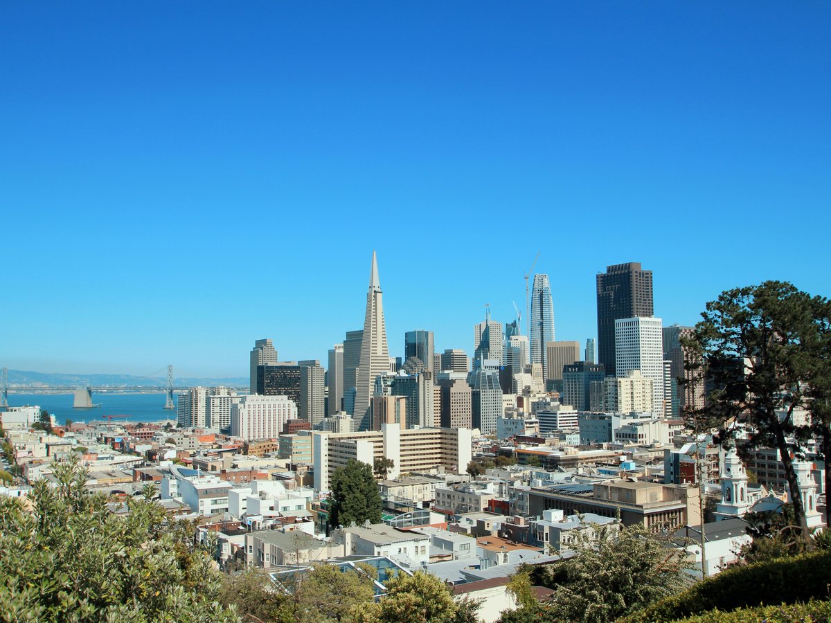
San Francisco's free hours are the ones the city runs on: fog wrapping the coastal cliffs, drum circles on a park slope, tai-chi mornings on a neighborhood square, eucalyptus stands and hillside vantage points that keep costing nothing but time. This list favours the outdoors and the civic: parks, plazas, and gardens catalogued as such by the public record, from the National Register-listed Presidio to a historic Japanese garden the city has kept intact. The twelve places below are the ones locals treat as extensions of their own living rooms, and none of them ask for a ticket at the door: the paid attractions inside them are optional; the parks themselves are not. Skip the guided-cable-car queue for a day and walk instead. Bring layers, wear shoes you can climb hills in, and use the citations for the addresses and the official sites; the rest of it is on foot.
-
1 Presidio of San Francisco
A National Register-listed former army post now functioning as free public open space, trails and beach included
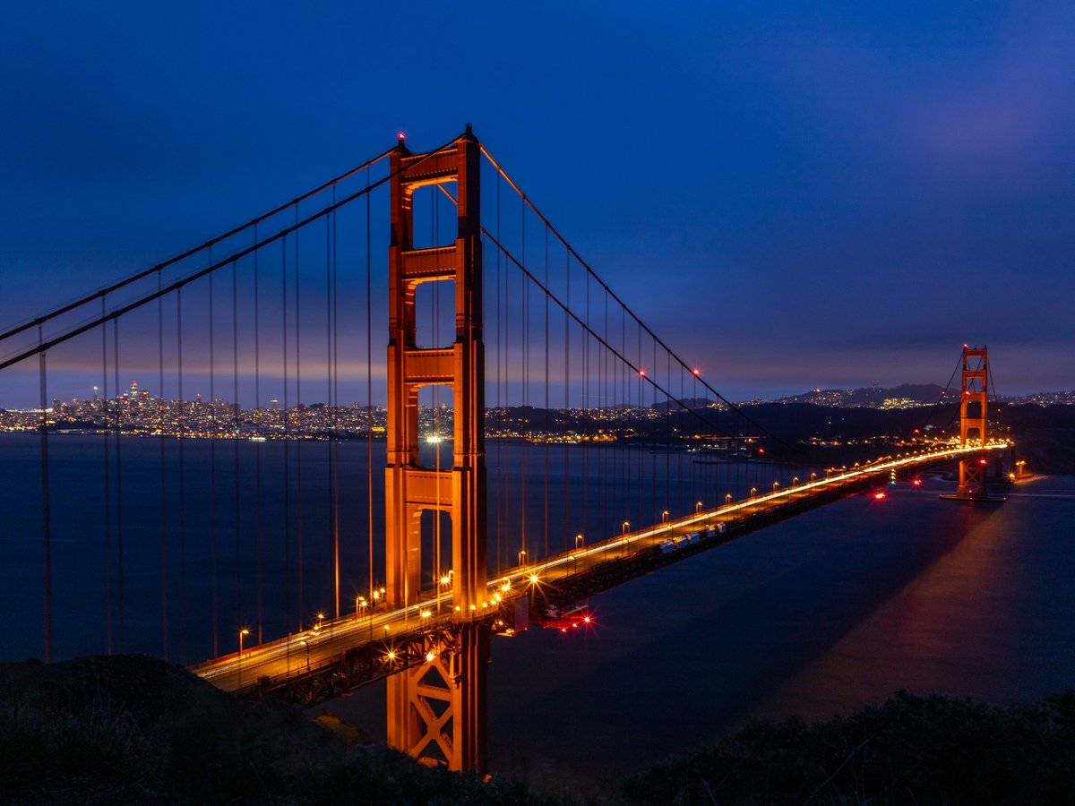
Listed on the National Register of Historic Places, the Presidio of San Francisco is one of the largest pieces of free public ground in the city. Skip the drive-across-the-bridge itinerary: the Presidio deserves a whole afternoon on foot rather than a rear-view mirror. The ranger network answers at +1 (415) 561-5300, and the trust runs its own planning site at presidio.gov, both of which locals treat as the real entry point rather than the freeway pull-off. The trails cut through the pines, and the historic post buildings that the register listing exists to protect are still standing rather than fenced off. Come at low tide and walk the beach; come at fog and stay in the trees. Dress warmer than the forecast either way.
California Historical Landmark
-
2 Golden Gate Park
A public park wide enough to walk from the eastern edge to the ocean over the course of an afternoon
Fog rolls east through the trees at Golden Gate Park most mornings, well before the joggers reach the meadows. Don't bother with the ticketed attractions on your first pass: Golden Gate Park is a public park, and the character comes from the width of it, the way the land moves from the eastern edge to the ocean over a couple of hours on foot. Locals prefer weekday mornings when the eastern car-free stretch belongs to cyclists and skaters rather than tour vans. Bring a paper map, because signal thins under the tree canopy, and dress in layers: the microclimate at one end and the microclimate at the other are not the same city on the same day. Most first-time visitors underestimate this free half-day.
Dates from 1870 · National Register of Historic Places listed place
-
3 Civic Center Plaza
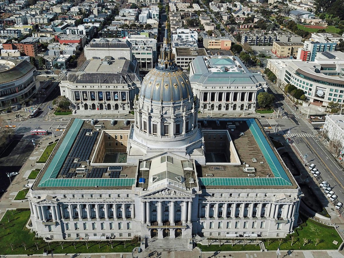
355 MCALLISTER ST, SAN FRANCISCO CA 94102-4708A public park in the middle of downtown San Francisco, with programming published on its own site
The lawn at 355 McAllister Street, 94102, is Civic Center Plaza: a public park in the middle of downtown San Francisco, and the one place on this list where the address itself is the whole point of the visit. Skip the guided walking tours; the plaza is best read on foot at a slow pace, with time to look up at what is around it. The plaza runs its own listing at sfciviccenter.org, and it is worth ten minutes of planning before you go: programming shifts, and a quiet weekday afternoon and a scheduled festival day are genuinely different visits. Bring layers regardless: the plaza is wide, the wind funnels through the surrounding blocks, and the downtown sun is often theoretical rather than actual.
Dates from 1911
-
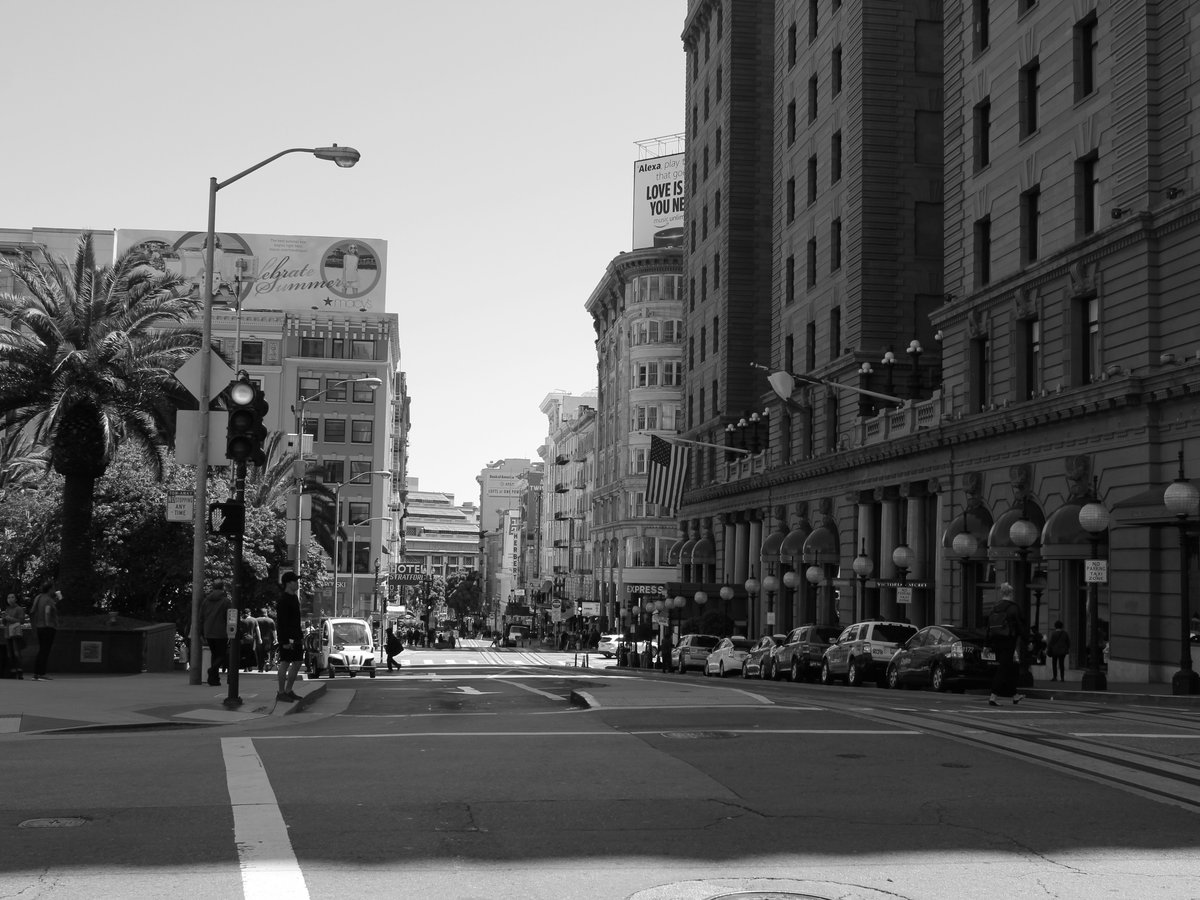
4 Union Square
333 Post StreetThe downtown neighborhood plaza where the visitor economy meets the office lunch crowd meets the shoppers
Downtown, on the neighborhood plaza of Union Square, the visitor economy meets the office lunch crowd meets the shoppers, and the whole square works better than it should. Skip the walking-tour route: most first-time visitors do Union Square wrong: arrive on foot from a hotel, look up at the department stores, buy a coffee, and leave. The Visit Union Square site at visitunionsquaresf.com lists what is on and when, which is worth checking before you head in. Union Square is technically a neighborhood, and the plaza at its centre is where the neighborhood is legible. Come in the evening when the store lights carry the plaza and the crowd tilts local. Sit for a while: this is one of the few downtown places designed to be sat in, not just crossed.
-
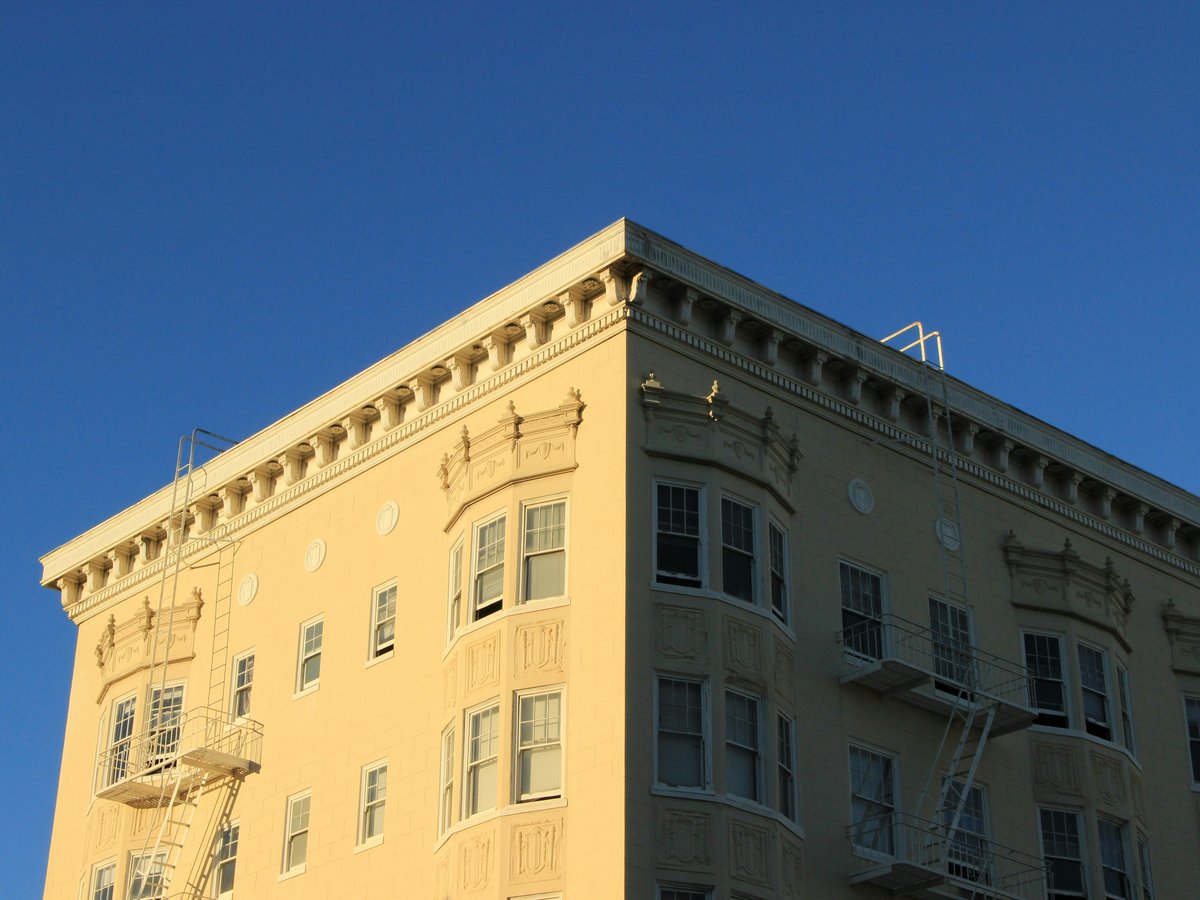
5 Alamo Square
A residential neighborhood and public park inside it, where the smart move is to face away from the postcard
The lawns of Alamo Square slope in every direction, so the smart move here is to face away from the side that gets photographed and read the rest of the city instead. Skip the photo queue. Alamo Square is both a residential neighborhood and a public park inside it, and dogs off-leash sort out their social order below the picnic blankets on any given afternoon. Don't bother with the tripods; the best angles here are the ones you find by walking around the block rather than the ones the guidebooks send you to. Bring water: the hill is steeper than it looks from the flats, and the wind off the ocean does not always announce itself in advance. Locals treat the park as their own lawn, and that is the rhythm to match.
-
6 San Francisco Botanical Garden
A curated botanical garden with a rolling seasonal calendar tracked on its own site
Blooms open across the seasons at the San Francisco Botanical Garden, and that calendar is what makes this a repeat visit rather than a one-off. Skip the generic guidebook shortlist; the garden's own site at sfbg.org tracks what is in flower this week, which is the real reason to plan for one weekend rather than another. As a botanical garden rather than a landscape park, the point here is the plants, not the picnic: the collections are organised, the paths lead somewhere in particular, and a slow walk teaches you which corner smells like which season. Bring closed shoes; the paths are dirt and bark, not paving, and the shade under the taller stands keeps the garden cool even on a warm afternoon. Come alone if you can.
-
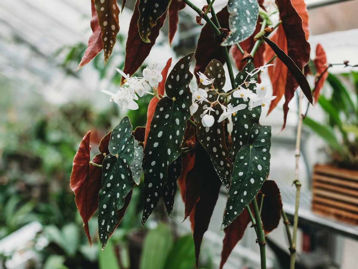
7 Conservatory of Flowers
A botanical garden in San Francisco where the interior climate is the whole point of the visit
Under the glass of the Conservatory of Flowers the interior air runs to a different climate, and the point of the visit is the room, not the postcard from the lawn. Skip the photo from outside; the doors are the reward. The Conservatory is catalogued as a botanical garden in San Francisco, California, and its official planning now lives at gggp.org (the parks-conservancy umbrella) which is where hours and closures land, in advance of whatever the third-party aggregators are telling you. Check before you go; turning up at a closed door is the classic first-time-visitor mistake. Pair the visit with a longer walk rather than a cab straight to the door: the doorstep alone does not tell you much about what is around it.
California Historical Landmark
-
8 Portsmouth Square
Walter U. Lum PlaceThe free civic anchor of Chinatown, most used at the hours when tours are still asleep
In Chinatown, San Francisco, Portsmouth Square is the neighborhood's free civic anchor and the most-used piece of open space for blocks in any direction. Skip the guided food tours that terminate at the square; it is more interesting when you arrive early and the tour flags are elsewhere. Portsmouth Square is catalogued as a public park in Chinatown, and the point of the visit is the pace of the neighborhood rather than a monument. Don't bother arriving mid-afternoon; go early, sit for a while, and let the rhythm of the neighborhood carry you rather than trying to see it. This is neighborhood time, not tourist time, and it is worth an unstructured hour on the way to or from dinner in the surrounding blocks.
-
9 United Nations Plaza
United Nations Plaza, San Francisco, CA 94102A plaza in San Francisco's Civic Center best read as one stop on a longer downtown walk
One stop on a wider Civic Center walk, United Nations Plaza is a plaza in San Francisco's Civic Center: modest in scale, civic in ambition rather than scenic, and best treated as a piece of a longer downtown loop rather than a destination on its own. Skip the tourist detour through the shopping streets to reach it. The plaza works when it is walked through, read on the way past, and paired with a stop at the wider Civic Center rather than isolated. Don't plan a long lunch here. Stop, read what is on the site itself, cross to the wider civic geography, and keep moving. As a stop on a walk it earns its place; as a standalone destination it does not, and treating it otherwise is a first-visit mistake.
Dates from 1975
-
10 Buena Vista Park
A park in San Francisco County read as a mid-city climb rather than a lawn hang
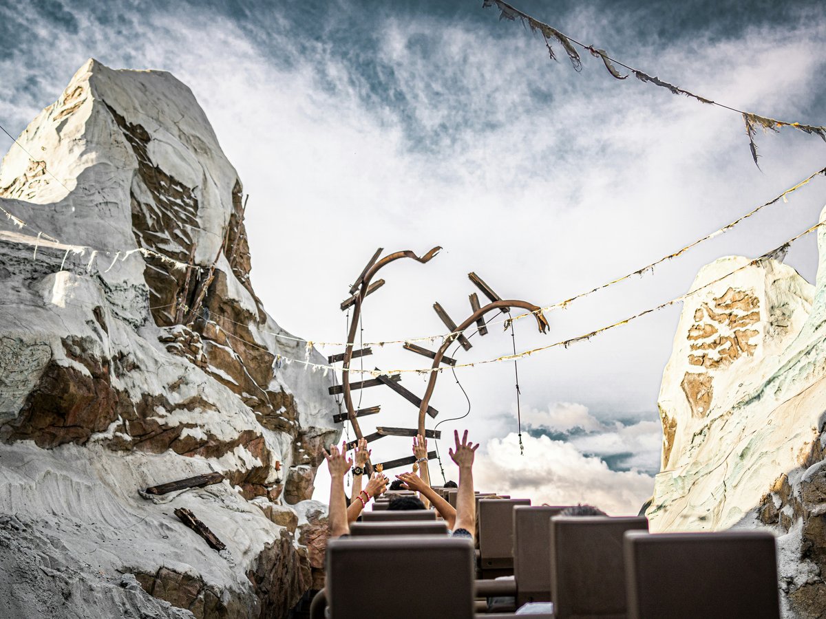
A public park in San Francisco, San Francisco County, United States, Buena Vista is the mid-city climb locals put on the calendar between coffee and lunch. Skip the flat-park routine. The point of Buena Vista Park is elevation: the paths go up, the surrounding streets fall away, and the payoff is the walk itself rather than the destination at the top. Don't bother with a picnic blanket; the geometry of the place does not reward it. Bring good shoes and come earlier in the day rather than later. The rewards here are the vantage points and the shade under the trees, not the amenities. Read the park as a short exercise walk rather than a lawn hang, and give it a single unhurried hour rather than a whole afternoon.
-
11 Mission Dolores Park
A city park in San Francisco used as the outdoor social room for the surrounding blocks
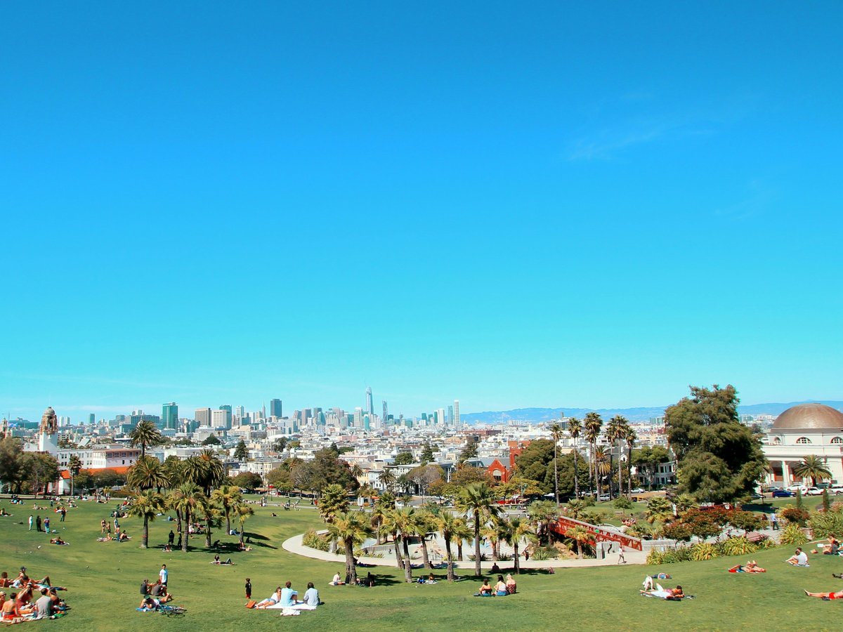
Weekend afternoons in the surrounding blocks mean Mission Dolores Park, and the locals arrive early rather than late. Skip the grab-a-blanket-at-noon plan; the sunniest corners are claimed hours before lunch. Mission Dolores Park is catalogued as a city park in San Francisco, California, and it works as the outdoor social room for the surrounding neighborhood: the lawn is used, not admired, and different corners function like different rooms depending on the sun and the crowd. Don't bother trying to hold a spot near the top on a warm afternoon. Come earlier, come on a weekday, or come at the tail of the day when the crowd thins. The best version of this park is not the middle of the afternoon, and the locals will tell you the same.
Dates from 1906
Hours: Mo-Su 06:00-22:00
-
12 Japanese Tea Garden
75 Hagiwara Tea Garden Drive, San Francisco, CA 94118A historic garden in San Francisco that repays a slow visit rather than a fast one
A historic garden in San Francisco, California, United States, the Japanese Tea Garden repays a slow visit rather than a fast one, and the phone-camera lap is the wrong way to see it. Skip the checklist stop. The Tea Garden is catalogued as a historic garden rather than a landscape park, and its rhythms are what the visit is about: the pace of the paths, the way the light moves through the space over the course of an afternoon, the intent behind every planting. Don't arrive without the intent to sit and look. Come mid-week if you can, walk the paths twice, and read the garden as an act of attention rather than a quick photo stop. The reward here is the pace itself, and it is not one you rush.
Dates from 1894
Last verified by automated review (v1.7.0_section-4g-san-francisco-attractions-free-2026-05-15) on . What is automated review?