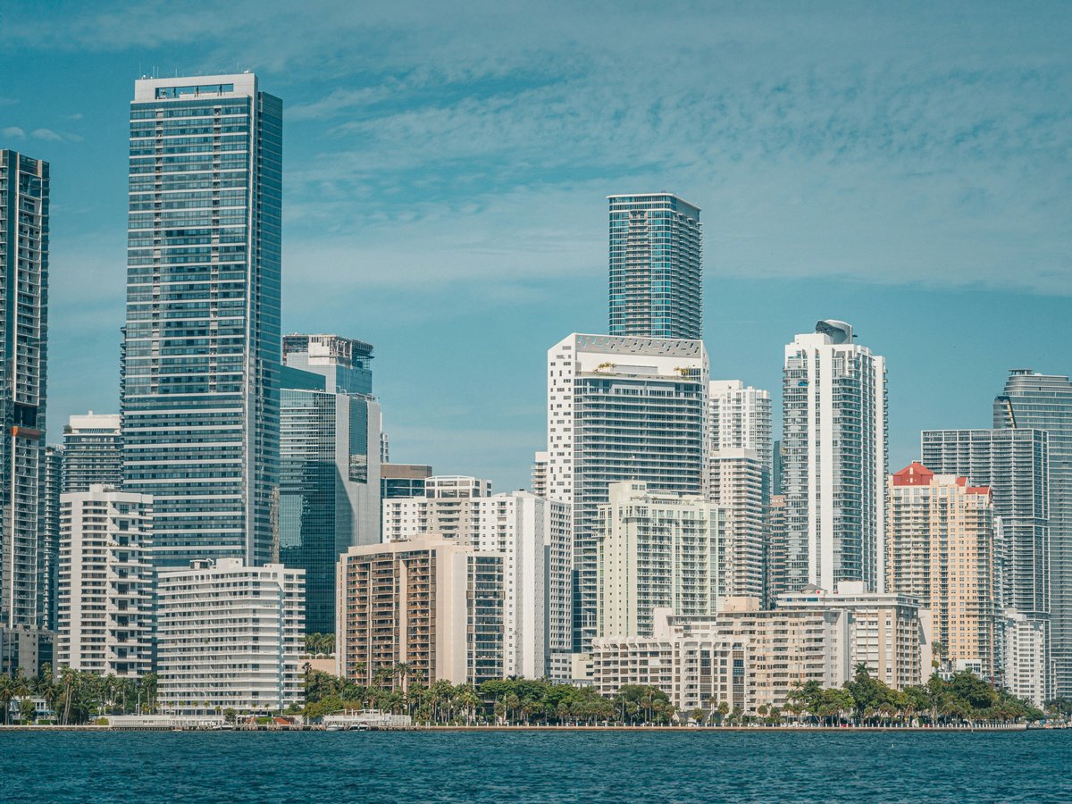
Where can I run in Miami?
South Pointe Park at the tip of Miami Beach is the starting point for two 5K loops with zero major-road crossings and roughly 80% footway share. For 10K, Bill Baggs Cape Florida State Park on Key Biscayne extends the distance but adds two road crossings. Five measured loops with GPX below.
South Pointe Park sits at the bottom of Miami Beach where Government Cut meets the Atlantic. The 5K loop A leaves from here on a 4.86 km circuit with 364 metres of connecting street and 1,768 metres of unbroken car-free path. No major-road crossings in the screen. The 5K loop B covers nearly the same ground at 4.92 km, also from South Pointe, with identical connecting-street and car-free distances. Footway share runs 80-81% on both. Before sunrise the concrete boardwalk still holds the previous day's warmth, and you'll catch the salt-and-seaweed smell strongest right at the South Pointe jetty. These two loops are the ones to run if you want to stay off roads entirely, though the shared path fills with walkers by 9 AM.
The 5K loop C starts from John C. Gifford Arboretum in Coral Gables at 5.23 km. Footway share drops to 32%, and the longest car-free stretch is 672 metres, less than half what the South Pointe pair offers. Connecting streets account for 436 metres. Still no major-road crossings in the data. The Arboretum neighborhood trades ocean breeze for tree canopy and the thick green smell of ficus roots pushing through old sidewalk. You'll share more road with Coral Gables traffic on this loop than on either South Pointe route. Mind you, it likely appeals to runners near the University of Miami who would rather not cross a causeway before their morning kilometres.
For the longer distance, the 10K loop A begins at Bill Baggs Cape Florida State Park on Key Biscayne. It measures 9.98 km with zero connecting-street distance, meaning every metre stays on park and island paths. The longest car-free stretch reaches 2,340 metres. Two major-road crossings appear in the data, one at Crandon Boulevard and one at an unnamed major road. Footway share is 43%. The 10K loop B starts from Tamiami Park in the western suburbs at 9.72 km, with 554 metres of connecting street and a longest car-free stretch of 3,414 metres, the longest unbroken segment of any loop in the set. Two crossings at Southwest 107th Avenue. Footway share drops to 33%. The Tamiami corridor tends to feel hotter, with less wind and no water in sight for most of the route. Key Biscayne, by contrast, puts the bay on one side and mangrove scrub on the other, with the sound of wading birds in the shallows at dawn.
September mornings in Miami currently reach 28°C with 77% humidity, and the feels-like temperature sits around 33°C. For a runner arriving from a temperate climate, that 5°C gap between air and skin temperature adds up fast. Run before 6:30 if you can. Water fountains are not measured in the loop data, so carry your own on any route past 5K. The coastal loops at South Pointe benefit from ocean air moving across the path. Tamiami Park and the Arboretum sit inland where the air hangs thicker and stiller. GPX files for all five loops are downloadable from the figures on this page. Elevation is not measured across the Miami loops, so do not assume flat terrain.
Measured loops from Miami's parks and waterfronts
Each loop was computed over OpenStreetMap paths by our routing engine and measured independently. The figure, the numbers and the GPX file describe the same stored route.
5K loop A from South Pointe Park
4.86 km loop
Leaves from South Pointe Park at the southern tip of Miami Beach. The shorter of the two South Pointe circuits, with the highest footway share of any 5K loop and the longest uninterrupted car-free stretch in the set. No major-road crossings. The corridor holds the beachside boardwalk with the Atlantic on your left for most of the run.
- Connecting streets
- 364 m
- Longest car-free stretch
- 1,768 m
- Major-road crossings
- none
- Footway share
- 81%
- Elevation
- not measured
Download GPX (5K loop A) Computer-generated and unverified: check access, crossings and conditions on the day.
5K loop B from South Pointe Park
4.92 km loop
The second South Pointe circuit, fractionally longer than its sibling. Nearly identical footway share and the same zero-crossing profile. Same start, same corridor, same car-free spine. The GPX trace is the practical difference. Pick based on loop direction rather than the numbers, which barely separate the two South Pointe options.
- Connecting streets
- 364 m
- Longest car-free stretch
- 1,768 m
- Major-road crossings
- none
- Footway share
- 80%
- Elevation
- not measured
Download GPX (5K loop B) Computer-generated and unverified: check access, crossings and conditions on the day.
5K loop C from John C. Gifford Arboretum
5.23 km loop
Starts from John C. Gifford Arboretum on the mainland in Coral Gables. The footway share is the lowest of the three 5K loops, and the car-free stretch is well under half the South Pointe figure. Still crossing-free in the data. Tree cover replaces ocean air on this corridor, with a noticeably different feel from the beach pair.
- Connecting streets
- 436 m
- Longest car-free stretch
- 672 m
- Major-road crossings
- none
- Footway share
- 32%
- Elevation
- not measured
Download GPX (5K loop C) Computer-generated and unverified: check access, crossings and conditions on the day.
10K loop A from Bill Baggs Cape Florida State Park
9.98 km loop
Bill Baggs Cape Florida State Park on Key Biscayne. The only loop where the entire route stays on park or island path. Two road crossings, one at Crandon Boulevard. The bay-and-mangrove corridor gives it a coastal feel the inland route lacks. Footway share sits in the middle of the five-loop range.
- Connecting streets
- 0 m
- Longest car-free stretch
- 2,340 m
- Major-road crossings
- 2 (Crandon Boulevard, Unnamed major road)
- Footway share
- 43%
- Elevation
- not measured
Download GPX (10K loop A) Computer-generated and unverified: check access, crossings and conditions on the day.
10K loop B from Tamiami Park
9.72 km loop
Tamiami Park in western Miami. Carries the longest unbroken car-free stretch of all five loops, though the footway share is the lowest in the set. The crossing pair at Southwest 107th Avenue is the only road interruption. An inland route with no water views and less breeze than Key Biscayne.
- Connecting streets
- 554 m
- Longest car-free stretch
- 3,414 m
- Major-road crossings
- 2 (Southwest 107th Avenue)
- Footway share
- 33%
- Elevation
- not measured
Download GPX (10K loop B) Computer-generated and unverified: check access, crossings and conditions on the day.
Runner's stay: Miami's hotels ranked by the run from the door
5K from the door
- 1Element Miami International AirportMid-range Score 112.3 Connecting streets 0 m; crossings 0; longest car-free stretch 1,234 m. Door-to-door GPX Check rates on Trip.com
- 2Best Western Premier Miami Intl Airport Hotel Suites Coral GablesBudget Score 88.6 Connecting streets 21 m; crossings 2; longest car-free stretch 1,364 m. Door-to-door GPX Check rates on Trip.com
- 3Gale Miami Hotel & ResidencesMid-range Score 87.2 Connecting streets 0 m; crossings 5; longest car-free stretch 4,722 m. Door-to-door GPX Check rates on Trip.com
- 4Heart of Wynwood - Rooftop Pool -Balcony Score 85.1 Connecting streets 0 m; crossings 2; longest car-free stretch 913 m. Door-to-door GPX Check rates on Trip.com
- 5Hampton Inn & Suites Miami-Airport South-Blue LagoonMid-range Score 81.3 Connecting streets 132 m; crossings 2; longest car-free stretch 1,188 m. Door-to-door GPX Check rates on Trip.com
Score = 100 − 0.05 × connecting streets (m) − 12 × major-road crossings + 0.01 × longest car-free stretch (m), never below 0, on each hotel's best measured loop. Ranked among bookable hotels only; policy d087a3e943a6.
10K from the door
- 1Best Western Premier Miami Intl Airport Hotel Suites Coral GablesBudget Score 83.0 Connecting streets 21 m; crossings 4; longest car-free stretch 3,204 m. Door-to-door GPX Check rates on Trip.com
- 2Hyatt Place Miami Airport DoralMid-range Score 71.2 Connecting streets 934 m; crossings 2; longest car-free stretch 4,192 m. Door-to-door GPX Check rates on Trip.com
- 3InterContinental Hotels MIAMI by IHGMid-range Score 66.1 Connecting streets 114 m; crossings 3; longest car-free stretch 782 m. Door-to-door GPX Check rates on Trip.com
- 4Hyatt House Miami AirportMid-range Score 61.1 Connecting streets 96 m; crossings 6; longest car-free stretch 3,791 m. Door-to-door GPX Check rates on Trip.com
- 5Pullman Miami AirportMid-range Score 43.0 Connecting streets 171 m; crossings 6; longest car-free stretch 2,351 m. Door-to-door GPX Check rates on Trip.com
Score = 100 − 0.05 × connecting streets (m) − 12 × major-road crossings + 0.01 × longest car-free stretch (m), never below 0, on each hotel's best measured loop. Ranked among bookable hotels only; policy d087a3e943a6.
Where the city runs
- South Pointe Park boardwalk, Miami Beach
- Key Biscayne island paths
- John C. Gifford Arboretum, Coral Gables
- Tamiami Park, western Miami
Before an early start
- Mid-September sunrise in Miami is around 7:10 AM; start before it for cooler air
- Carry water on every route; fountain locations are not in the measured data
- Coastal paths catch ocean crosswind; the inland loops at Tamiami and Coral Gables sit stiller
- Elevation is not measured; do not assume flat terrain on any loop
Loops compared under one search policy ( d087a3e943a6), generated 2026-09-15.
Last verified by automated review (v1.7.2) on . What is automated review?