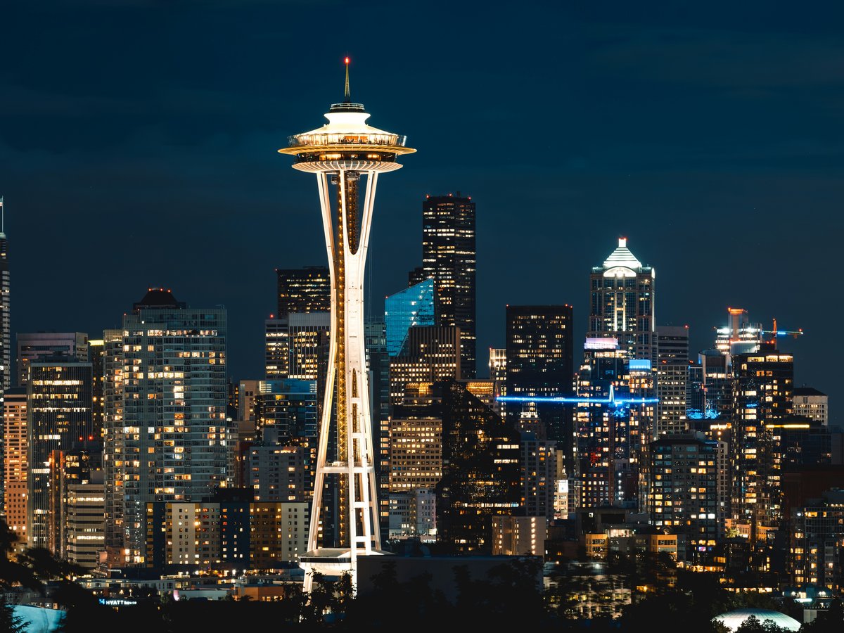
How do I get around Seattle?
Link Light Rail runs from SeaTac Airport to downtown Seattle in 40 minutes for $3.25. An ORCA card ($5 from any station machine) works on trains, buses, streetcars, and ferries. King County Metro buses fill the gaps, Uber and Lyft cover late nights. The city is walkable within neighborhoods but steep between them.
Book the connection
One search across trains, buses & flights: live times and prices for Seattle.
The 1 Line light rail is your default. It runs from SeaTac Airport through Beacon Hill, the International District, Pioneer Square, Westlake, Capitol Hill, the University of Washington, and up to Northgate. The full airport-to-downtown run takes about 40 minutes and costs $3.25. Buy an ORCA card from any station vending machine for $5 and load $20 for a few days of riding. That card scans on Link, every King County Metro bus, the streetcar, the Sounder commuter rail, and Washington State Ferries. One card, one tap. Trains run every 8 minutes during the day and every 15 minutes after 10 PM. The last southbound train leaves Westlake station around 12:15 AM on weeknights. If you do nothing else before arriving, download the Transit app. It shows real-time arrivals for everything ORCA covers.
King County Metro fills what the rail doesn't reach. The RapidRide C and D lines run frequently along major corridors, and the E Line on Aurora Avenue connects to Woodland Park Zoo and points north every 10 minutes. Bus fares top out at $2.75 with ORCA, and transfers are free for 2 hours. For crosstown trips the train can't serve, like Ballard to Capitol Hill, Uber and Lyft are both active. A typical ride from Capitol Hill to Fremont runs $10-14. Taxis exist but almost nobody takes them. Skip the monorail from Westlake Center to Seattle Center. It costs $3.50 for a 2-minute trip covering 1 mile. You could walk that stretch in 15 minutes flat.
Seattle is walkable within neighborhoods, but the hills will surprise you. The grade from the waterfront up to Pike Place Market, which has been there since 1907, rises roughly 30 meters in 2 blocks. Capitol Hill earns its name. Queen Anne has a gentle north slope and a south face steep enough to make your calves burn. Wear shoes with real soles. The flat stretches feel different. The waterfront path from Olympic Sculpture Park south past Pier 57 runs about 3 kilometers on level ground, with the smell of salt water and creosote drifting off old pier pilings. June through September tends to stay dry most days, with highs around 22°C. The rain arrives sideways from October through April. An umbrella marks you as a tourist. Locals pull on a shell jacket and keep moving.
The Washington State Ferries terminal sits at Colman Dock, Pier 52, a 5-minute walk from Pioneer Square station. The Bainbridge Island ferry takes 35 minutes, costs $9.85 for a walk-on passenger, and the return trip is free. On a clear afternoon you'll feel the cold Puget Sound wind cutting across the upper deck while the diesel engine hums through the floor beneath your feet. The Olympic Mountains grow larger the whole crossing. The King County Water Taxi to West Seattle departs from Pier 50 at $5.75 per ride. Worth noting, these are commuter routes that run on strict schedules. The 5 PM sailings fill with Bainbridge-bound office workers, so board at least 15 minutes early or you'll stand squeezed between cars on the vehicle deck.
On-the-ground: metro available · ride-hail apps work.
Primary modes of transit
- Link Light Rail
- King County Metro bus
- Uber/Lyft
- Walking
- Washington State Ferries
- King County Water Taxi
- Seattle Streetcar
Seattle's network by the timetable
Read from the published timetables, not from memory: 4 operators, 247 routes and 8,105 stops within 17 km of the centre.
- Operators, by routes here
- Metro Transit (210)
- Sound Transit (28)
- Seattle Children's Hospital (5)
- City of Seattle (4)
- Routes by mode
- 237 Bus
- 6 Tram
- 4 Ferry
- Weekday service
- 02:59 to 29:30 (05:30 the next morning)
- Fares in the timetable
- USD 0.00 to 7.00
- Timetables valid
- 2021-07-01 to 2027-03-26
Read 2026-09-14, version PDT: 15-Jun-2023 02:48; FAL26-161.0; FAL26-161.0; SC-Fall-2026.3; S1000135; 20260829-20261211, from 6 feeds:
- Seattle Children's Hospital Shuttle (the operator's own local feed, Mobility Database source 270). Licence: not stated in the catalog; the agency's terms apply.
- Sound Transit, Metro Transit, City of Seattle - King County Metro (the operator's own local feed, Mobility Database source 267). Licence: not stated in the catalog; the agency's terms apply.
- King County Metro (the operator's own local feed, Mobility Database source 1330). Licence: not stated in the catalog; the agency's terms apply.
- Sound Transit (a community local feed, Mobility Database source 268). Licence: not stated in the catalog; the agency's terms apply.
- Pierce Transit (a community local feed, Mobility Database source 265). Licence: not stated in the catalog; the agency's terms apply.
- Community Transit (CT) (a community local feed, Mobility Database source 287). Licence: not stated in the catalog; the agency's terms apply.
Popular connections from Seattle
Lowest fares and fastest times for the most-booked departures, as observed on Omio in August 2025. Live prices vary.
Seattle to Portland
Check times & book on Omio →Mode Fare from Fastest Train from £23.43 3 h 25 min Bus Most booked from £22.95 3 h 5 min Flight from £149.63 48 min
Ready to book the connection?
Compare trains, buses & flights to and around Seattle on Omio: live times & prices in one search.
Compare on Omio →More transport questions
How do I get from the airport to Seattle?
Take the Link 1 Line light rail from SEA's 4th-floor garage station to Westlake Station in downtown Seattle. It costs $3.00, runs every 6 to 15 minutes, and takes about 40 minutes. After midnight, use Uber or Lyft from the parking garage's 3rd floor; expect $30 to $45 to downtown.
Full answerHow do I get to Seattle?
Seattle-Tacoma International Airport (SEA), 22 km south of downtown, handles nearly all commercial flights. Alaska Airlines hubs here with nonstop service to over 100 cities. Direct routes run from London Heathrow (9.5 hours), Tokyo Narita (10 hours), and most major US airports. Link Light Rail connects SEA to downtown in 38 minutes for $3.25.
Full answerWhat are the best day trips from Seattle?
Bainbridge Island is the best single-day trip from Seattle for couples. The Washington State Ferry from Colman Dock costs about $9.50 per adult round trip and takes 35 minutes. Mount Rainier's Paradise area, 150 km southeast, combines wildflower meadows with the 1916 Paradise Inn. Snoqualmie Falls plus Woodinville wine tasting makes a solid 6-hour half-day loop.
Full answerLast verified by automated review (v1.7.2) on . What is automated review?