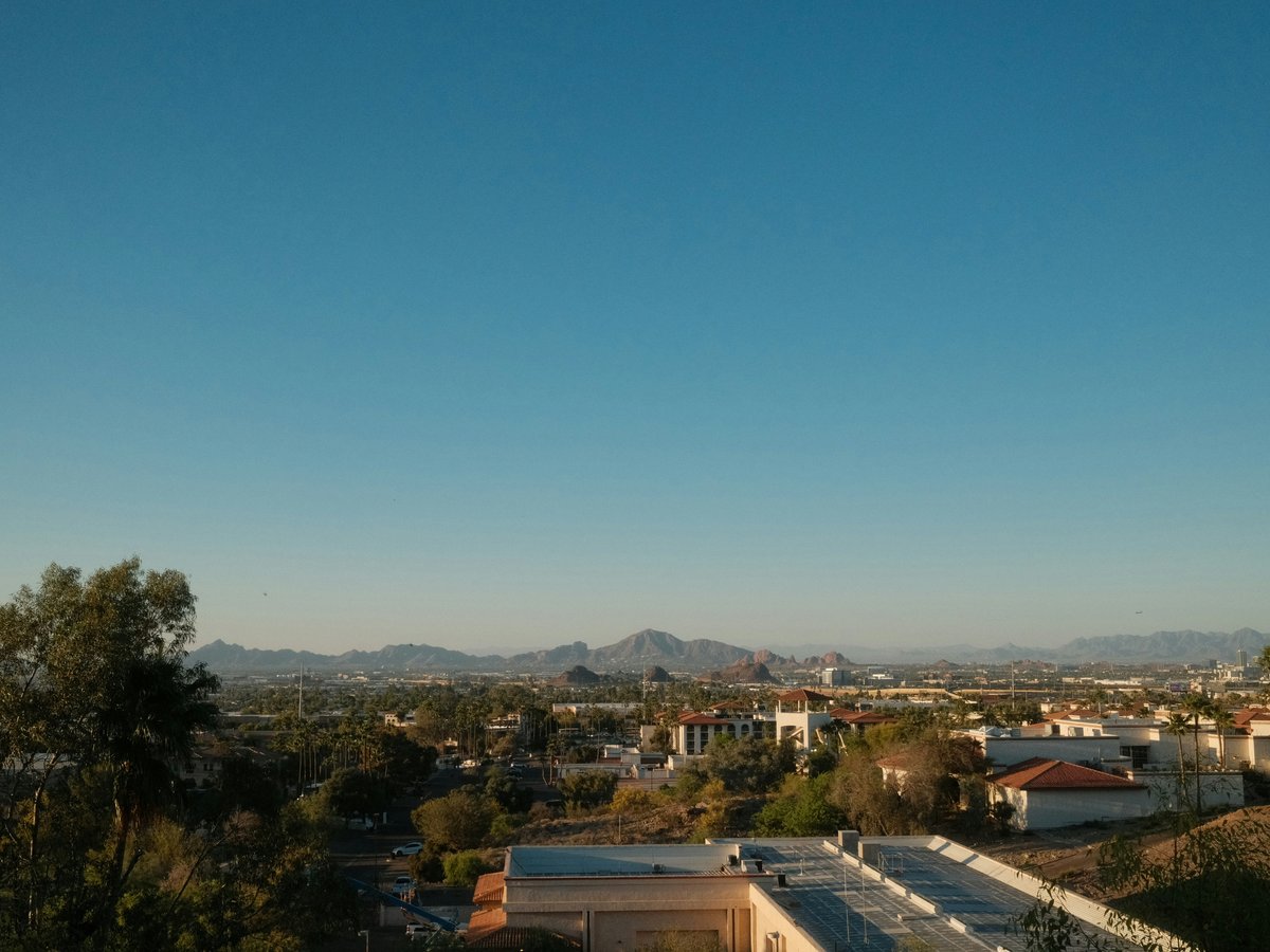
How do I get around Phoenix?
Rental car or ridehail. Phoenix covers 517 square miles of flat desert grid, and the Valley Metro light rail serves only one 28-mile corridor through downtown, Tempe, and Mesa. Uber and Lyft run 24/7 at $8-15 for most trips. From May through September, walking beyond 5 minutes in direct sun is a medical risk at 40°C-plus.
Phoenix is a rental-car city. The metro area covers about 517 square miles of flat Sonoran Desert grid, and most destinations sit 15 to 30 minutes apart by car. The Heard Museum on Monte Vista Road to the Desert Botanical Garden in Papago Park is 9 miles. Desert Botanical Garden to Old Town Scottsdale is another 6. These are wide, well-signed roads on a numbered grid where Central Avenue splits east from west and Washington Street splits north from south. Parking runs free to $5-10 at most attractions, and rental rates at Sky Harbor's consolidated Rental Car Center tend to sit around $35-55 per day.
Valley Metro Rail, the light rail line that opened in December 2008, runs 28 miles from 19th Avenue/Dunlap in north Phoenix through downtown and past Arizona State University in Tempe to Mesa. A single ride costs $2, an all-day pass $4, and a 7-day pass $20. Trains come every 12 minutes during weekday rush hours and every 15-20 minutes otherwise. For airport arrivals, the free PHX Sky Train connects Terminals 3 and 4 to the 44th Street/Washington light rail station in about 5 minutes. Mind you, this is light rail, not a subway. It runs at street level, stops at traffic lights, and the full end-to-end ride takes about 65 minutes. It works for the downtown-to-Tempe-to-Mesa corridor but does not reach Scottsdale, Camelback Mountain, or anywhere west of I-17.
Uber and Lyft both operate across the Valley and are likely your second-most-used option after a rental car. Sky Harbor to downtown Phoenix runs $10-15, to Old Town Scottsdale $15-22, to Tempe's Mill Avenue about $10-14. Surge pricing hits predictably after Cardinals games at State Farm Stadium in Glendale and Suns games at Footprint Center downtown. Taxis from Sky Harbor cost roughly 30% more than ridehail for the same distance. Worth noting for airport arrivals, both Uber and Lyft have marked pickup zones at each terminal's ground level. Download both apps before you land.
From May through September, the heat changes how you move through Phoenix at a physical level. The current temperature sits at 40.6°C (105°F) with 17% humidity. That dry heat people talk about is real, but the pavement temperature is what matters on foot. Asphalt in direct afternoon sun reaches 70°C (158°F) in central Phoenix, enough to cause second-degree burns through thin-soled sandals. You'll feel the heat pressing upward from the sidewalk on Central Avenue, catch the smell of baked creosote and scorched concrete, hear the constant hum of air conditioning units on every building. A 400-meter walk from the Desert Botanical Garden parking lot to the entrance will leave you flushed and reaching for water. Plan your driving legs so outdoor walks stay under 5 minutes in direct sun. November through March flips the equation. Daytime highs sit around 20-24°C (68-75°F), and walks through Roosevelt Row or hikes up Camelback Mountain's Echo Canyon trail feel comfortable.
Phoenix's street grid is one of the easiest in the country to learn. Central Avenue runs north-south as the zero line. Everything east is a numbered Street (1st Street, 24th Street, 48th Street). Everything west is a numbered Avenue (7th Avenue, 19th Avenue, 43rd Avenue). Major east-west roads like Camelback Road, Indian School Road, Thomas Road, and McDowell Road run parallel about one mile apart through midtown. Scottsdale Road marks the city's eastern boundary. If you miss a turn, the next parallel road is probably one mile away on the same grid. That said, watch for Grand Avenue, which cuts northwest from downtown and breaks the grid between 7th Avenue and 27th Avenue.
On-the-ground: ride-hail apps work.
Primary modes of transit
- Rental car
- Uber/Lyft
- Valley Metro Rail (light rail)
- PHX Sky Train (airport)
- Valley Metro bus
More transport questions
How do I get from the airport to Phoenix?
Phoenix Sky Harbor (PHX) sits about 4 miles east of downtown. Take the free PHX Sky Train to the 44th St/Washington Valley Metro Rail station, then ride the light rail 15 minutes to downtown for $2. Uber or Lyft from the terminal curb runs $12-20 to central Phoenix and takes about 10 minutes without traffic.
Full answerHow do I get to Phoenix?
Phoenix Sky Harbor International Airport (PHX) sits 5 km east of downtown and serves as a major American Airlines hub with nonstop service to over 100 domestic cities. Southwest, Delta, and United also fly heavy schedules. From Europe or Asia, expect one connection through Dallas, Chicago, or Los Angeles. Mesa Gateway Airport (AZA), 35 km southeast, handles Allegiant Air budget flights from 45 smaller cities.
Full answerWhat are the best day trips from Phoenix?
Sedona (185 km north, 2 hours by car) is the strongest single-day pick from Phoenix. Cathedral Rock for a morning hike, then Page Springs Cellars in Cornville for a wine tasting. Jerome, a copper-mining town 30 minutes past Sedona on AZ-89A, adds lunch with Verde Valley views. In June, leave by 6am to beat 40°C valley heat.
Full answerLast verified by automated review (v1.7.2) on . What is automated review?