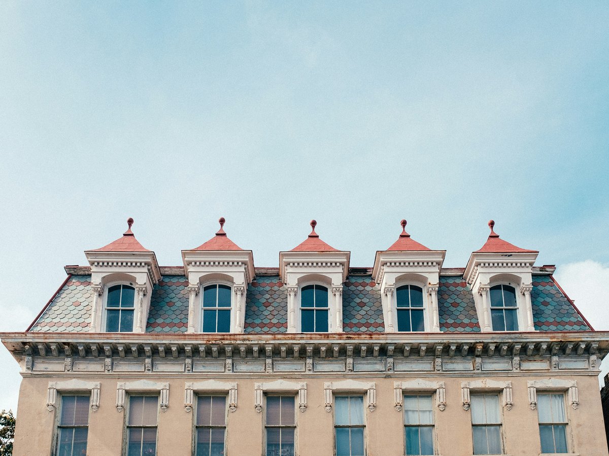
Charleston's historic peninsula sits between the Ashley and Cooper rivers, roughly 2 miles across at its widest. The city's neighborhoods read like a timeline if you walk north from The Battery. The oldest wealth clusters below Broad Street, where pre-Revolutionary houses face the harbor. Move north past Broad into the French Quarter, then the commercial strip of King Street, then residential blocks stretching toward Hampton Park. Cross the Ravenel Bridge east to reach Mount Pleasant. Cross the Ashley River west into suburban West Ashley. Most first-time visitors stay on the peninsula, and for a trip of 3 to 5 days, the walkable core between The Battery and Calhoun Street covers plenty of ground. The flat terrain and tight grid make Charleston unusually easy to cover on foot (see https://en.wikivoyage.org/wiki/Charleston#Get_around for transit specifics). That said, August mornings currently start around 24°C with humidity near 92%, so you might want to schedule outdoor walks before 10 a.m. or after 5 p.m. The city scores 8.5/10 for family friendliness (see the TTDI Family-Friendliness Index), and neighborhoods like Mount Pleasant offer the combination of beaches, parking, and room to move that families with young kids tend to need.
Neighborhoods
-
South of Broad
South of Broad is where old Charleston money still lives, quietly. The streets narrow below Broad Street into a residential grid of 18th-century houses behind wrought-iron gates and walled gardens. The Cathedral of Saint John the Baptist, standing at 120 Broad since 1907, marks the northern boundary of this neighborhood. You'll hear church bells from St. Michael's on Sunday mornings and the clip of horse-drawn carriages on Meeting Street. The air carries jasmine from April through October and salt from the harbor year-round. Rainbow Row, the line of pastel Georgian rowhouses on East Bay Street between Tradd and Elliott, is the most photographed block in the area. But this is not a commercial district. No restaurants, no bars, almost no shops. White Point Garden sits at the peninsula's tip, facing Fort Sumter across the harbor. Construction of the fort began in 1811, and the battery wall at the garden's edge still angles toward the fort's position, roughly 3 miles across the water.
- Best for
- Couples, history-focused visitors, and photographers who want quiet streets and harbor views. Not ideal for nightlife or dining without walking north to King Street.
- Key streets
- East Bay Street (Rainbow Row between Tradd and Elliott), Meeting Street south of Broad, Church Street, Tradd Street, Legare Street, Murray Boulevard along the seawall
-
French Quarter
The French Quarter is the cultural center of the peninsula, packed into the blocks between Broad and Market streets, roughly bounded by Meeting and East Bay. The Dock Street Theatre sits on Church Street. The Huguenot Church, built in 1844, stands a block south. Cobblestones survive on Chalmers Street, and the buildings press close enough overhead that some blocks stay shaded past noon. Art galleries line lower Church Street and Queen Street. By midmorning, the smell of shrimp and grits drifts from restaurant doorways and mingles with the damp stone scent of the older facades. This area gets crowded after 10 a.m. during peak season, March through June. Worth noting that the galleries on Queen Street keep irregular hours. Many open only Thursday through Sunday.
- Best for
- Culture-focused visitors, art buyers, and couples who want walkable density and historic architecture without the commercial intensity of King Street
- Key streets
- Church Street (Dock Street Theatre, Huguenot Church, galleries), Queen Street (gallery row), Chalmers Street (cobblestoned, colonial-era ballast stones), State Street, East Bay Street near the Old Exchange
-
Upper King Street
Upper King runs north from Calhoun Street toward the Crosstown (US-17) and is Charleston's primary dining and bar corridor. The restaurants here tend to be younger and more experimental than the white-tablecloth places near Broad. Expect craft cocktail bars, late-night taco spots, and converted-warehouse spaces with exposed brick and loud weekend crowds. The Charleston Museum, founded in 1773, still sits on Meeting Street near its intersection with John Street, at the southern edge of this zone. Emanuel African Methodist Episcopal Church, established in 1816, anchors the Calhoun Street boundary. The noise level picks up noticeably after 8 p.m. on Fridays and Saturdays. If you're sensitive to that, consider staying a block or two off King on one of the quieter cross streets like Society or George.
- Best for
- Solo travelers, younger couples, and anyone who wants walkable nightlife and restaurant density without needing a car or a rideshare after dinner
- Key streets
- King Street from Calhoun to Spring (restaurant row), Meeting Street near John (Charleston Museum), Calhoun Street (Emanuel AME Church), Society Street, Burns Lane
-
Harleston Village
Harleston Village fills the blocks between Calhoun Street and Broad, west of King. The College of Charleston campus anchors the eastern edge, and the residential streets west of Coming Street are lined with Victorian and Edwardian houses behind deep porches. It's quieter than the French Quarter, less formal than South of Broad. Students from the College give the sidewalks energy during the school year, roughly August through May. The tree canopy on Rutledge Avenue is thick enough to cut the worst of the summer heat. On the side streets, you'll hear ceiling fans turning on porches and screen doors slapping shut more than car engines. Colonial Lake, a tidal basin on Rutledge near Broad, anchors the southern end of the neighborhood.
- Best for
- Visitors who want a residential pace within a 10-minute walk of both King Street's restaurants and The Battery, including families with older kids and couples looking for quiet without isolation
- Key streets
- Rutledge Avenue (Colonial Lake, tree canopy), Coming Street, Beaufain Street, Bull Street (College of Charleston campus), Wentworth Street
-
Cannonborough-Elliotborough
Cannonborough-Elliotborough sits north of Calhoun and west of King, between Rutledge Avenue and the Ashley River marshes. The neighborhood has changed fast since around 2015. Single and double shotgun cottages from the late 1800s line the streets, some freshly renovated with gas lanterns, others still showing bare wood and peeling paint. It feels less polished than the neighborhoods south of Calhoun, and the block-to-block quality of the housing stock varies. The food scene here leans neighborhood-casual. Spring Street has become a quieter alternative to Upper King for dinner. MUSC's campus touches the western edge, so you'll see hospital workers in scrubs walking to lunch along Ashley Avenue. The smell of roasting coffee from the small-batch roasters on upper Coming Street drifts through in the mornings.
- Best for
- Budget-conscious visitors who want to eat well without the tourist markup, and travelers who prefer a neighborhood feel over a hotel district. Short-term rental rates here tend to run 20 to 30% below comparable listings south of Calhoun.
- Key streets
- Spring Street (restaurants, coffee), Cannon Street, Rutledge Avenue, Ashley Avenue (MUSC corridor), upper Coming Street
-
Hampton Park and North Central
North of the Crosstown, the peninsula opens up around Hampton Park, a 60-acre green space built on the site of the 1901 South Carolina Inter-State and West Indian Exposition. The residential blocks here have Craftsman bungalows and mid-century ranches instead of antebellum townhouses. The Citadel's campus edges the park's western side, and you might hear their morning reveille if you're staying within a few blocks. Mind you, food options are limited compared to the King Street corridor. The tradeoff is quiet, space, and notably lower lodging costs. Cyclists use the park loop as a morning circuit, 1.2 miles around the perimeter.
- Best for
- Budget travelers with cars who want a home base away from crowds. The walk to Upper King takes around 20 minutes, or a 5-minute rideshare covers it.
- Key streets
- Mary Murray Boulevard (loops Hampton Park), Rutledge Avenue north of the Crosstown, Meeting Street near The Citadel, Grove Street
-
Mount Pleasant
Cross the Ravenel Bridge east and you're in Mount Pleasant, a town of roughly 95,000 that operates at a different speed from the peninsula. Patriots Point Naval and Maritime Museum is the main draw for visitors. The USS Yorktown, commissioned in 1943, and the USS Laffey, launched the same year, are both moored here. Shem Creek, a tidal creek lined with seafood restaurants and kayak outfitters, runs through the heart of Old Mount Pleasant. The shrimp at the Shem Creek restaurants came off boats docked 50 feet from your table. At low tide, you'll smell pluff mud, a sulfurous, marshy funk that locals have either grown to love or stopped registering entirely. The drive to the historic district takes 10 to 15 minutes without traffic, but the Ravenel Bridge bottleneck can stretch that to 25 or 40 minutes during weekday rush hours.
- Best for
- Families who want hotel chains, parking, and proximity to both Patriots Point and the Isle of Palms beach. The family-friendliness noted in this guide's opening is most visible here, where the combination of the aircraft carrier, waterfront dining, and nearby beaches keeps kids occupied for days.
- Key streets
- Coleman Boulevard (Shem Creek restaurants and shops), Patriots Point Road, Pitt Street (Old Village, the historic residential core of Mount Pleasant), Ben Sawyer Boulevard (route to Sullivan's Island and Isle of Palms)
-
West Ashley
West Ashley stretches along the western bank of the Ashley River, connected to the peninsula by the old Ashley River bridges. It is primarily suburban, with strip malls along Sam Rittenberg Boulevard and Savannah Highway (US-17). The historic anchor is St. Andrews Episcopal Church on Ashley River Road, built in 1706 and likely the oldest surviving church building in South Carolina. Charles Towne Landing State Historic Site, at the original 1670 settlement location, sits along the river 3 miles from the bridge. West Ashley is not a walking neighborhood for visitors. You'll need a car. But lodging runs 40 to 50% less than the peninsula, and the drive downtown takes around 10 minutes outside rush hour.
- Best for
- Visitors on a tight budget or those who want proximity to Drayton Hall and Middleton Place up Ashley River Road. Families with cars who want to skip peninsula parking fees, which currently run $20 to $30 per day in the historic district.
- Key streets
- Savannah Highway (US-17, commercial corridor), Ashley River Road (plantation route, St. Andrews Church), Sam Rittenberg Boulevard, Old Towne Road
FAQ
Where should I stay if I want to walk everywhere in Charleston?
Stay south of Calhoun Street on the peninsula. Harleston Village and the French Quarter both put you within a 10 to 15-minute walk of most major historic sites, King Street restaurants, and The Battery. You won't need a car unless you're heading to the beaches, Mount Pleasant, or the plantations up Ashley River Road. For specifics on local transit and cycling, see https://en.wikivoyage.org/wiki/Charleston#Get_around.
Is Charleston safe for solo travelers?
Charleston scores 6.8/10 for solo-traveler safety (see the TTDI Solo-Safety Index). The historic district and King Street corridor are well-lit and busy through the evening hours. The areas south of Calhoun feel particularly comfortable for solo visitors walking at night. Standard urban awareness applies after midnight on the upper blocks of King. For broader safety detail, see https://en.wikivoyage.org/wiki/Charleston#Stay_safe.
Which Charleston neighborhood has the best food scene?
Upper King Street has the highest restaurant density and the widest range of price points on the peninsula. But several of Charleston's most talked-about restaurants sit on Spring Street in Cannonborough-Elliotborough, where prices tend to run lower for comparable cooking. For waterfront seafood straight off the boats, Shem Creek in Mount Pleasant is the go-to. The French Quarter's restaurants along Church and Meeting tend toward higher price points and reservation-only seating during peak season, March through June. See https://en.wikivoyage.org/wiki/Charleston#Eat for a broader overview.
How LGBTQ+-friendly is Charleston for visitors?
Charleston scores 5.8/10 on LGBTQ+ friendliness (sourced from TTDI's editorial rubric). The Upper King Street corridor and Cannonborough-Elliotborough tend to be the most welcoming areas, with several LGBTQ+-owned businesses and bars. Charleston is more progressive than much of South Carolina, but it is still a mid-sized Southern city. Comfort levels likely vary between the peninsula's urban core and the surrounding suburban areas.
Can I work remotely from Charleston for a few weeks?
Charleston scores 5.2/10 for digital-nomad suitability (sourced from TTDI's editorial rubric). You'll find reliable Wi-Fi in most coffee shops and restaurants along King Street and in Cannonborough-Elliotborough. That said, dedicated coworking spaces are limited compared to cities that draw more long-term remote workers, and the cost of living on the peninsula is high. If you're staying more than a week, Cannonborough-Elliotborough and Hampton Park offer better value for monthly rentals than the French Quarter or South of Broad.
What's worth seeing outside the historic peninsula?
The H.L. Hunley, the first combat submarine to sink a warship, is on display at the Warren Lasch Conservation Center in North Charleston. Patriots Point in Mount Pleasant has two WWII-era warships that are well worth a half-day visit, especially with kids. Charles Towne Landing in West Ashley marks the original 1670 settlement site. Further up Ashley River Road, Drayton Hall and Middleton Place are 2 of the best-preserved plantation properties in the region. Folly Beach, roughly 20 minutes south of downtown, is the closest ocean beach to the peninsula. See https://en.wikivoyage.org/wiki/Charleston#See for the full range.
Last verified by automated review (v1.7.2) on . What is automated review?