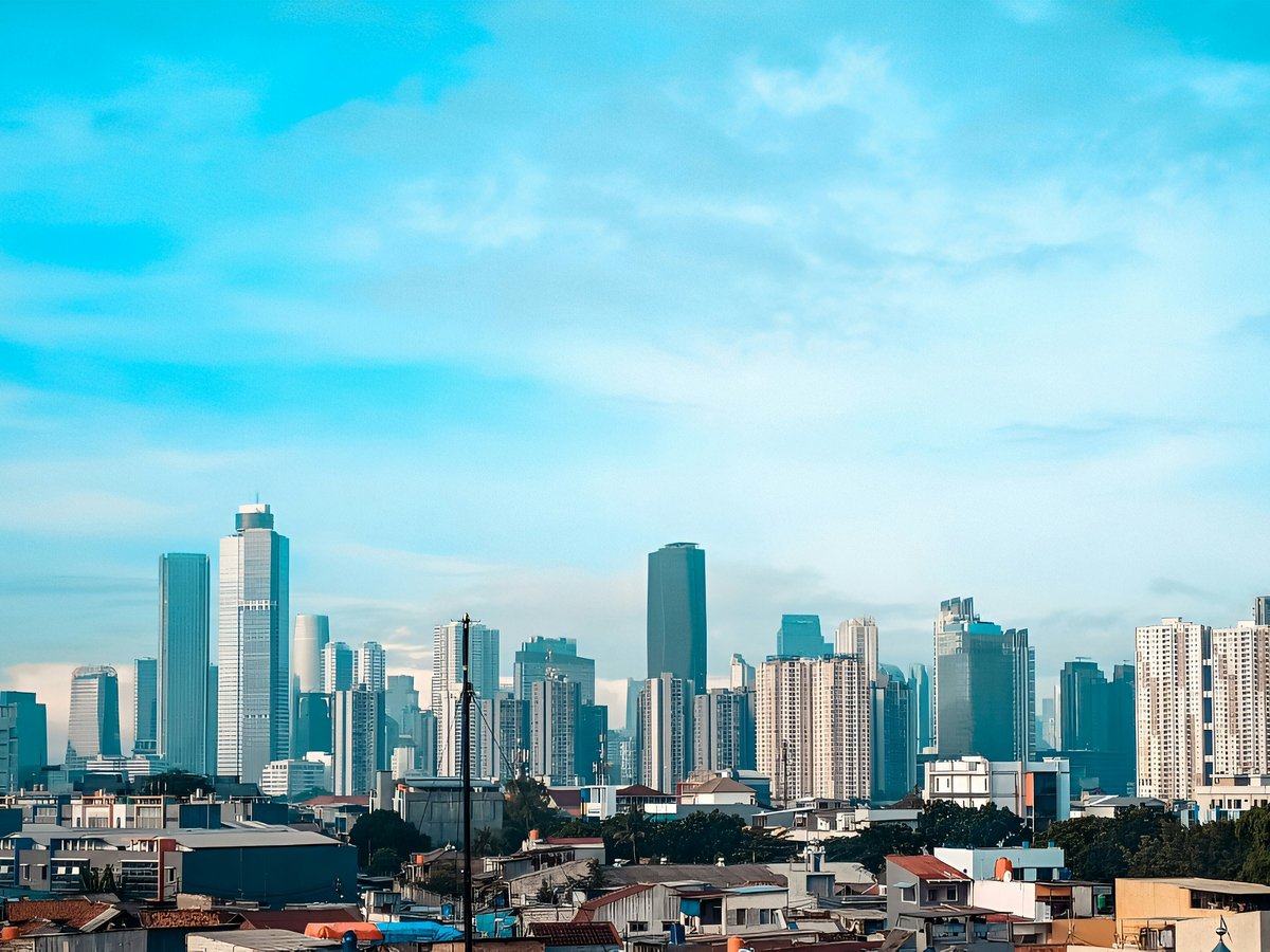
Jakarta's must-see list is not a parade of postcards. It is a working capital that keeps its founding stories out in the open, in cemeteries, cathedrals, palaces and a coastal fairground that all sit within the same sprawling metropolis on the north coast of Java. The twelve entries below skew toward buildings that still do the job they were built for, presidential residences that still house a president, churches that still hold Sunday service, and cemeteries that still receive visitors from families abroad. They are grouped in the Batavia-era core where the Dutch capital was laid down, and along the northern shore where the city meets the Java Sea. This is a list for a visitor who wants to read Jakarta as a layered city rather than tick off a skyline, and who is willing to move between a Catholic cathedral, a Protestant church, a megachurch and a war grave in a single afternoon to do it. Addresses and coordinates are given so you can plan the day honestly; the editorial voice is a local one, not a guidebook one.
-
1 Ancol War Cemetery
Jl. Lodan Timur nr. 7, 14340, JakartaA Dutch war cemetery on the north coast that remains an official Netherlands field of honour, not a museum
At Jl. Lodan Timur 7, in the 14340 postal area of north Jakarta, the gate to Ancol War Cemetery opens onto rows that are still tended by the Netherlands rather than by the city. Skip the assumption that a cemetery is a detour from a Jakarta trip; this one is a Dutch war cemetery on Indonesian soil, and reading the names is the shortest history lesson the coast offers. The site is administered from the Netherlands through the Oorlogsgravenstichting, whose page for the ereveld carries the visiting information you need before you go. It sits at roughly -6.1185, 106.8548, close enough to the Ancol shoreline that you can pair the visit with the coast without pretending the two places share a mood.
-
2 Jakarta Cathedral
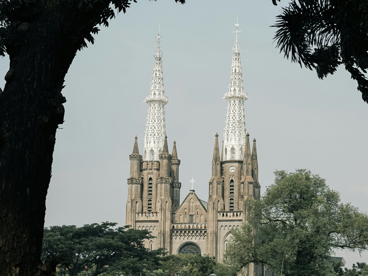
Coordinates -6.1693, 106.8331The seat of Catholic Jakarta, sitting directly opposite Istiqlal on the same civic square
By 06:00 the twin spires of Jakarta Cathedral catch first light on the north side of the Merdeka precinct, at -6.1693, 106.8331. The locals go to Mass here on Sunday morning and treat the neo-Gothic nave as a working church, not a tourist stop; it is the Catholic cathedral of the city, and the schedule that governs it is the parish's, not a guidebook's. The parish keeps its Mass times, feast days and visiting hours on its own site, and it is the honest reference to check before you turn up in shorts on a Holy Day. Go for a weekday morning if you want the building to yourself; go on Sunday if you want to see what it is for.
-
3 Immanuel Church
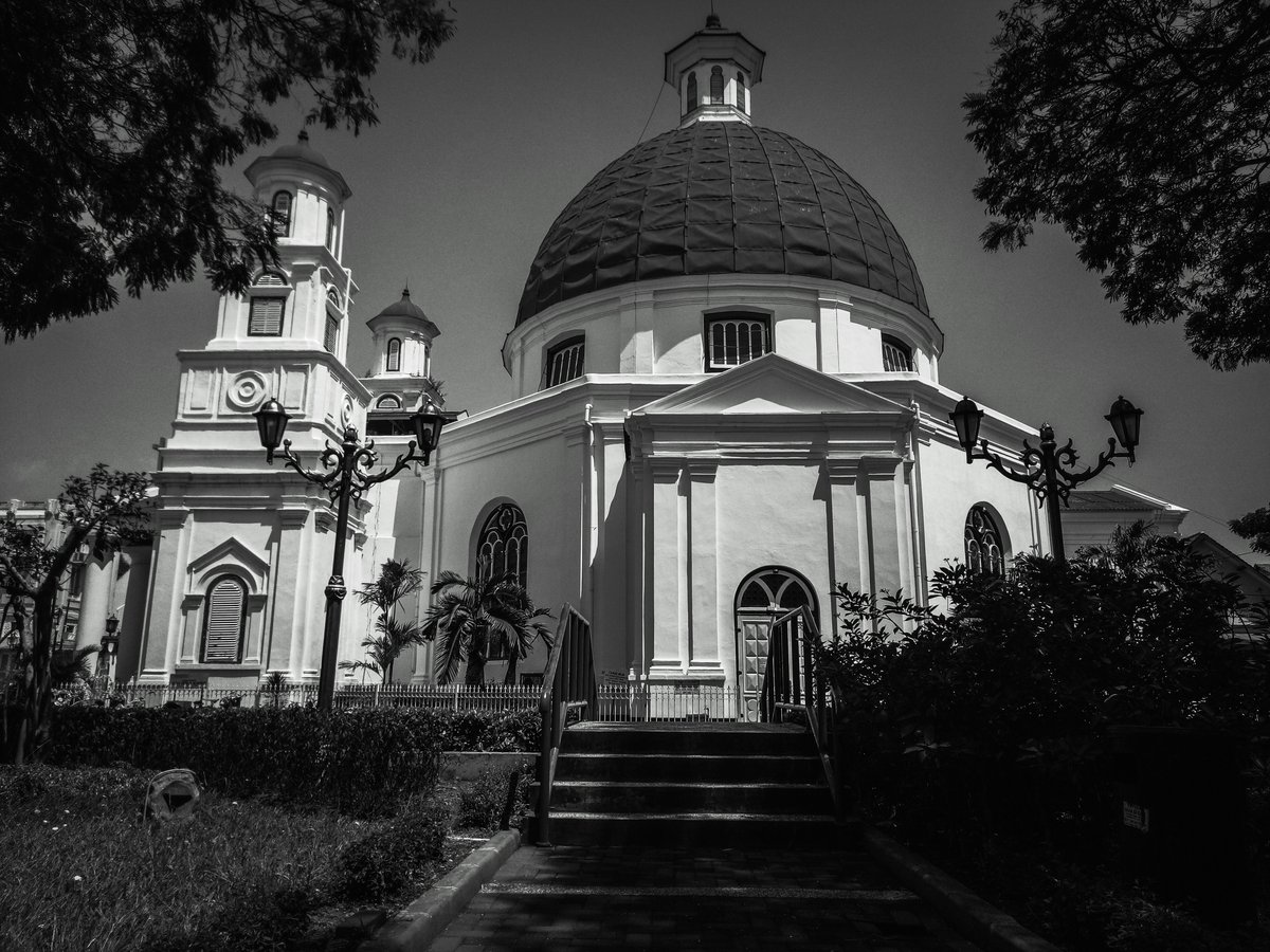
Coordinates -6.1767, 106.8320A domed Protestant church directly across from Gambir station, still under its original GPIB congregation
From 06:30 the neoclassical dome of Immanuel Church rises through the traffic on the Gambir side of Merdeka, at -6.1767, 106.8320. Don't bother trying to slip in as a sightseer on a Sunday; this is a working church whose GPIB congregation runs its own service calendar, and the congregation's own site is the place to check times and access. The building's circular plan and its central position opposite the station make it one of the easiest colonial-era structures to find on foot, and it rewards a slow walk around the exterior almost as much as a look inside. Aim for a weekday, when the congregation is not gathered and the interior is quiet enough to read the light.
-
4 Ancol Dreamland
Coordinates -6.1227, 106.8315The city's northern seafront recreation complex, and the operator that publishes its own opening hours and prices
Wakes up early along the north shore at -6.1227, 106.8315, where Ancol Dreamland runs the coastal recreation belt as a single ticketed complex. Skip the impulse to walk in without a plan; the operator publishes gates, park hours and ticket rules on ancol.com, and the site is what you should trust for the day's opening state rather than a third-party listing. Ancol is best read as an integral part of Jakarta's northern coastline rather than as a single attraction, which means you pick one thing, the beach, the aquarium, the theme park, and commit to it. Go on a weekday morning if you want the space; go on a Sunday if you want to see how the city itself spends a day off.
-
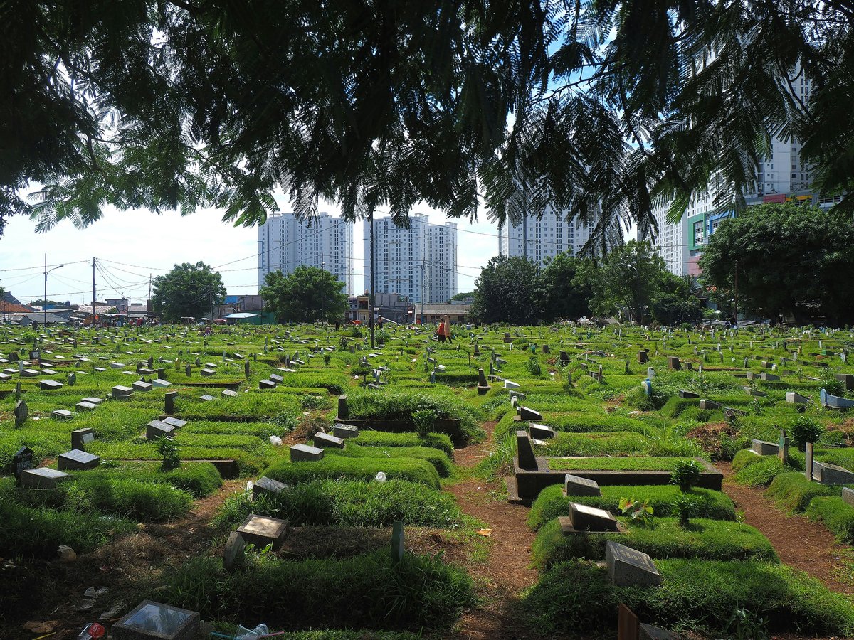
5 Menteng Pulo War Cemetery
Jl. Menteng Pulo Rt. 03 Rw. 012, 12870, JakartaThe second Dutch field of honour in Jakarta, quieter and more residential than Ancol
Down at Jl. Menteng Pulo, in the 12870 postal band south of the centre, the second of Jakarta's Dutch war cemeteries sits inside a residential neighbourhood rather than on the coast. The locals know Menteng Pulo as a quiet corner rather than a tourist site, and it is worth treating it that way: this is a Dutch war cemetery in Indonesia, not an open-air museum, and the tone of a visit should match. The coordinates -6.2223, 106.8395 put it a short taxi from the Menteng embassy district, which makes it easy to pair with a walk in that area rather than an all-day expedition. If you have already been to Ancol, this second cemetery is where the story finishes.
-
6 Messiah Cathedral
Coordinates -6.1535, 106.8439An Indonesian megachurch that runs its own weekend services on a scale the tourist circuit rarely mentions
At -6.1535, 106.8439, on the northern reach of central Jakarta, Messiah Cathedral is the city's most visible Indonesian megachurch. Don't bother comparing it to the colonial-era churches on the Merdeka square; it belongs to a different Jakarta, the one that fills stadium-scale halls on a Sunday morning and treats worship as a production. The congregation publishes its schedule and service information on its own site, and that is the reference to check before you turn up. Go once, sit at the back, and understand that Christian Jakarta is not just the cathedral opposite Istiqlal; it is also this room, several kilometres to the north, on the same Sunday morning. It is one of the most honest ways to read the city's religious present.
-
7 St. Paul's Church, Jakarta
Coordinates -6.2006, 106.8310A GPIB parish church in south-central Jakarta that keeps its own service life outside the tourist itinerary
Tucked at -6.2006, 106.8310, south of the Merdeka core, St. Paul's Church is a working church in Jakarta rather than a listed monument. The locals prefer to encounter it as a neighbourhood parish, not a sight, and the honest way to visit is on the congregation's terms; GPIB Paulus keeps its schedule and contact information on gpibpaulusjakarta.org, and that is the reference to consult before you plan a stop. Pair it with a walk through the Menteng streets to the north and you have a coherent morning that reads the residential city rather than the ceremonial one. If you have already toured the cathedral and Immanuel, this is where you go to see the same tradition at a smaller, quieter scale.
-
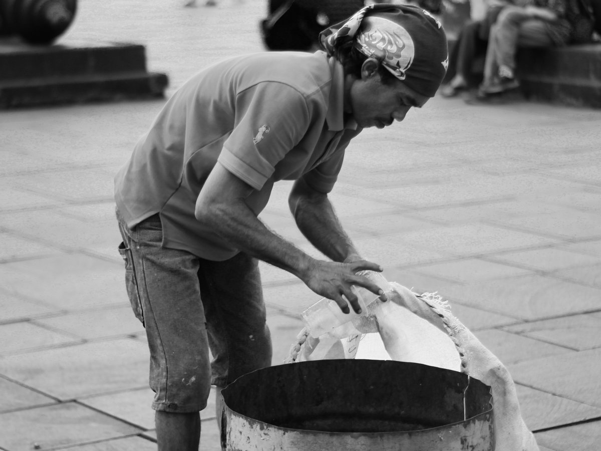
8 Batavia
Coordinates -6.1348, 106.8132The historical core of the Dutch East Indies capital, still legible as a street pattern in Kota
At -6.1348, 106.8132, the historical city of Batavia still shows through the modern grid. Skip the temptation to treat Kota as a photo backdrop; this was the capital of the Dutch East Indies from 1619 to 1949, and the square, the canals and the warehouses are the plan of an actual colonial capital rather than a themed quarter. The interesting move is to walk the streets that connected the fort to the harbour, read the building lines as a port-city plan, and then take a taxi across town to Merdeka to see what independent Jakarta chose to build instead. Batavia is now Jakarta; the two names refer to the same ground, and standing in this district is the shortest way to understand that.
-
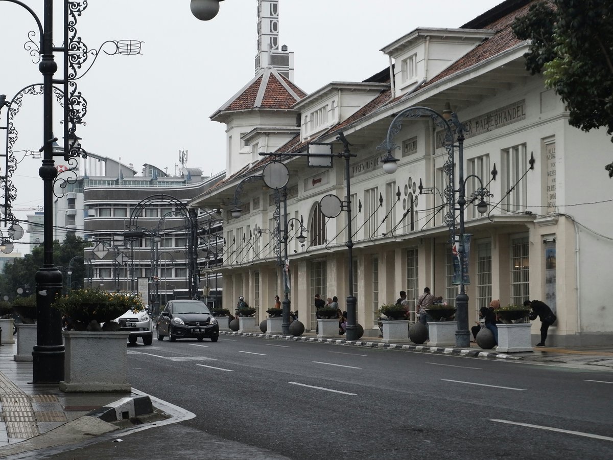
9 Merdeka Palace
Coordinates -6.1702, 106.8241The president's working residence on the north side of Merdeka Square, viewable from the perimeter
On the north edge of Merdeka Square, at -6.1702, 106.8241, the white colonnade of Merdeka Palace is the official residence and office of the President of Indonesia. Don't bother trying to walk in; this is a working seat of state, and the honest visit is a slow lap of the fence with the flag change in view. The locals know the palace as the northern anchor of the square, not as a museum, and reading it in that role, live, ceremonial, guarded, tells you more than any interior tour would. Pair it with a walk across the square to the Monas obelisk and you have the civic axis of independent Jakarta in a single kilometre. It is one of the few residences of state anywhere in Southeast Asia that a visitor can quietly circle on foot.
-
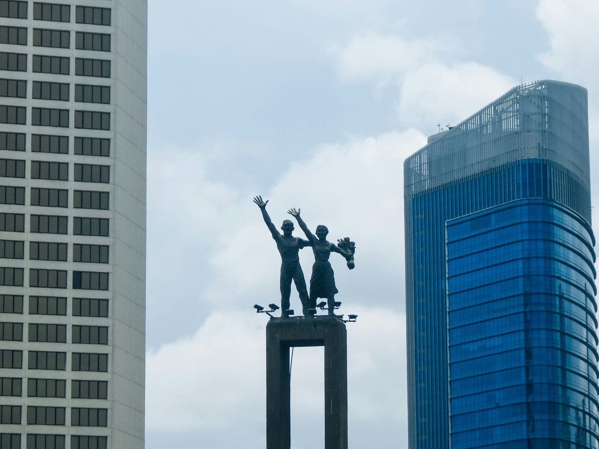
10 Selamat Datang Monument
Coordinates -6.1950, 106.8230The 'Welcome' statue at the head of the Hotel Indonesia roundabout, still the city's ceremonial front door
At -6.1950, 106.8230, the two figures of the Selamat Datang Monument stand at the top of the roundabout at the head of the Thamrin avenue. Skip the urge to photograph it from the pavement and move on; this is the monument the city built to welcome visitors, and the honest way to see it is at night, from one of the crossings at the roundabout, when the traffic rings it and the base is lit. The locals treat it as a landmark for meeting and for direction, not as a sight, and reading it as a piece of civic furniture rather than a tourist stop is the correct register. Pair the walk with a look south along Thamrin and you have the modern spine of the city in a single view.
-
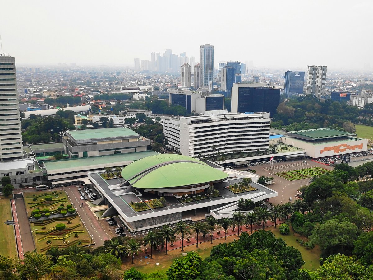
11 DPR/MPR Building
Coordinates -6.2104, 106.8001The green-roofed parliamentary complex where the People's Consultative Assembly meets
West of the centre, at -6.2104, 106.8001, the sweeping green roof of the DPR/MPR Building marks the seat of the People's Consultative Assembly. Don't bother trying to enter without an appointment; the honest visit is from the road, where the sculptural roofline is the point and the security perimeter tells you what kind of building this is. The locals know it as the site of the reform-era demonstrations that changed the country's politics, and reading the plaza in that light, rather than as an architectural set piece, is what makes the stop worth making. Pair it with a look at the Semanggi interchange to the east and you have a compact tour of late-Sukarno and early-New-Order Jakarta in a single loop.
-
12 Istana Negara
Coordinates -6.1680, 106.8239The older state palace directly south of Merdeka, used for the formal business of the presidency
Just south of Merdeka Palace, at -6.1680, 106.8239, the lower white facade of Istana Negara is the second of the two presidential palaces on the square and is also an official residence and office of the President of Indonesia. The locals know that the ceremonial business of the presidency, state banquets, credential presentations, oath ceremonies, tends to happen here rather than at the residence next door, and that context is what turns a fence-line view into a real visit. Skip the assumption that one palace is enough; walking the perimeter of both, in order, is what makes the civic geography of the square legible. Do it in the same hour as the Merdeka Palace stop, and the two buildings finally read as a pair rather than as duplicates.
Last verified by automated review (v1.7.2_onboard-jakarta-attractions-must-see-2026-09-22) on . What is automated review?