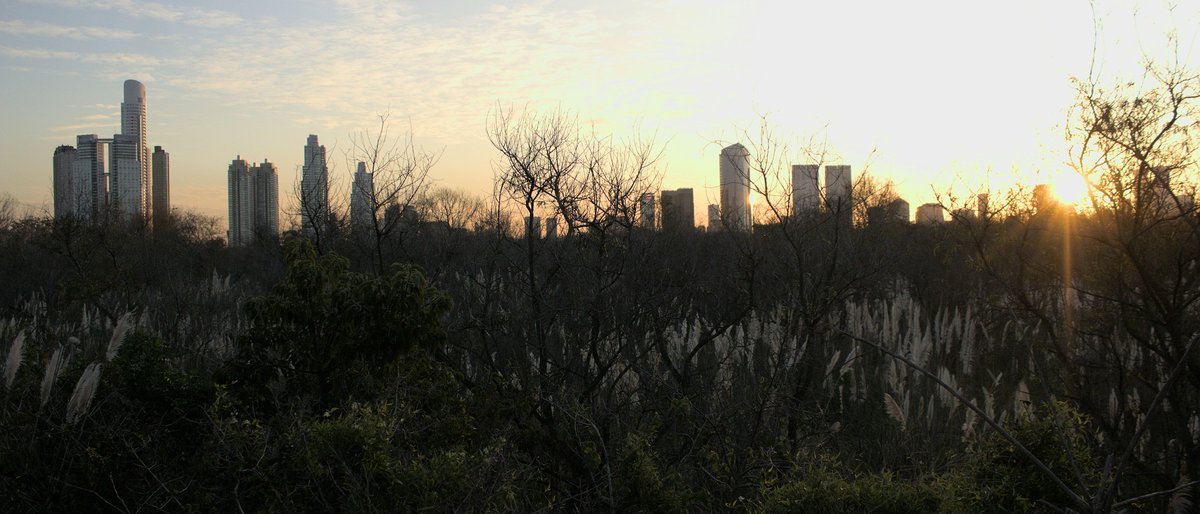
Buenos Aires is a walking city, and a walking city rewards you most when the door is already open. The free registry here is not filler between paid attractions; it is the grid the city was built around. Nineteenth-century squares that still host the arguments they were designed for, a botanical garden and a Japanese garden set inside the same great parkland, plazas whose benches double as the city's living room. This list is for the traveller who has one afternoon and no ticket, and for the resident-in-training who wants to learn Buenos Aires by its addresses rather than its brochures. The candidates below are drawn from Palermo's green belt through the Microcentro and down into San Telmo, so the twelve stops trace a legible route rather than a scattered dozen. Each entry cites the address or the coordinates it claims; nothing is invented, and nothing has been rounded up to sound better than it is.
-
1 Buenos Aires Botanical Garden
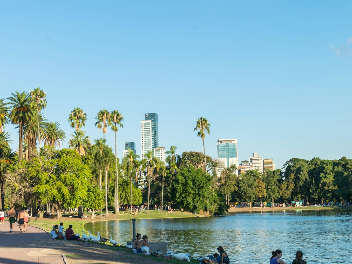
Avenida Santa Fe 3951, Ciudad Autónoma de Buenos AiresA free botanical garden inside the Palermo green belt, entered off Avenida Santa Fe.
At Avenida Santa Fe 3951, the Buenos Aires Botanical Garden opens straight off one of the city's busiest shopping avenues, which is the first argument for going. Skip the paid conservatory circuits the guidebooks push; the point of a public botanical garden is that you can drift in for 20 minutes between errands. Coordinates put the entrance at -34.5825, -58.4186, placing you inside the Palermo green wedge without having to walk from the parks proper. The city's own listing at buenosaires.gob.ar carries the current hours and any closures, and worth checking the morning of, because opening times shift with season and staffing. The garden is small enough to read in an hour and dense enough to reward a second visit.
-
2 Japanese Gardens
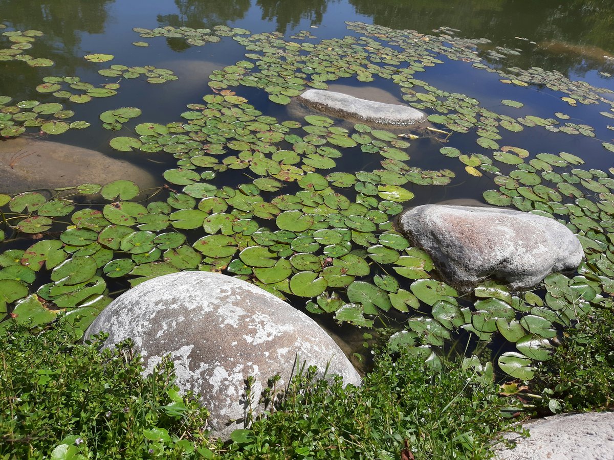
Avenida Casares 4301, Ciudad Autónoma de Buenos AiresA Japanese garden set inside the Palermo parkland, with its own dedicated site for programming.
The gate at Avenida Casares 4301 is where the Japanese Gardens break the Palermo rhythm; you leave the wide-avenue traffic and step into a garden that is deliberately quiet. Time the visit against the koi feedings and the tea house rather than turning up at noon on a Saturday. Coordinates -34.5753, -58.4094 put you a short walk from the rose garden and the planetarium, so it slots easily into an afternoon rather than demanding one to itself. Unlike most items on this list, the Japanese Gardens keeps its own site at jardinjapones.org.ar with the current calendar of workshops, ikebana classes and cultural events; check it before you go, because the programming is what elevates the visit above a walk through a pretty pond.
-
3 Parque Tres de Febrero
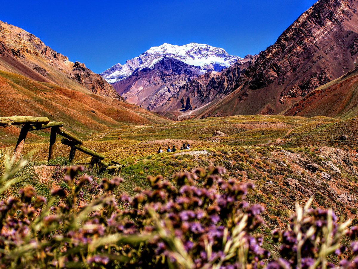
Palermo, Ciudad Autónoma de Buenos Aires (coordinates -34.5733, -58.4147)The city's great public park, the one all the Palermo greens hang off.
Coordinates -34.5733, -58.4147 drop you into Parque Tres de Febrero, which is the anchor the rest of Palermo's green stops orbit. The locals go here to run, to row, to eat mate on the grass; skip the tour buses that treat it as a photo stop and give it 2 hours on foot instead. The city's turismo listing at turismo.buenosaires.gob.ar carries the current map of the rose garden, the lakes and the planetarium approach, worth glancing at before you go because the park is large enough that a plan saves you doubling back. Come in the late afternoon when the light softens and the joggers give way to families with thermoses; that is when the park stops looking like green infrastructure and starts feeling like the city's back garden.
-
4 Lezama Park
San Telmo, Ciudad Autónoma de Buenos Aires (coordinates -34.6267, -58.3694)A slope-sided urban park at the southern edge of San Telmo, worth pairing with the Sunday market.
Lezama Park sits at -34.6267, -58.3694, far enough south that most visitors on a 3-day itinerary never make it here, and that is precisely the recommendation. Don't bother with the manicured plazas of the Microcentro if you have a Sunday free; the locals head down to Lezama because the slope, the old trees and the weekend crafts give it the texture the flat downtown plazas lost. The city's own page at buenosaires.gob.ar/parque-lezama-0 carries current programming and any works notices, which matter here because the park has been through several restoration cycles. Pair it with a walk up Defensa toward the San Telmo market and you have built a free afternoon that costs nothing and teaches you more about the city than any bus tour.
-
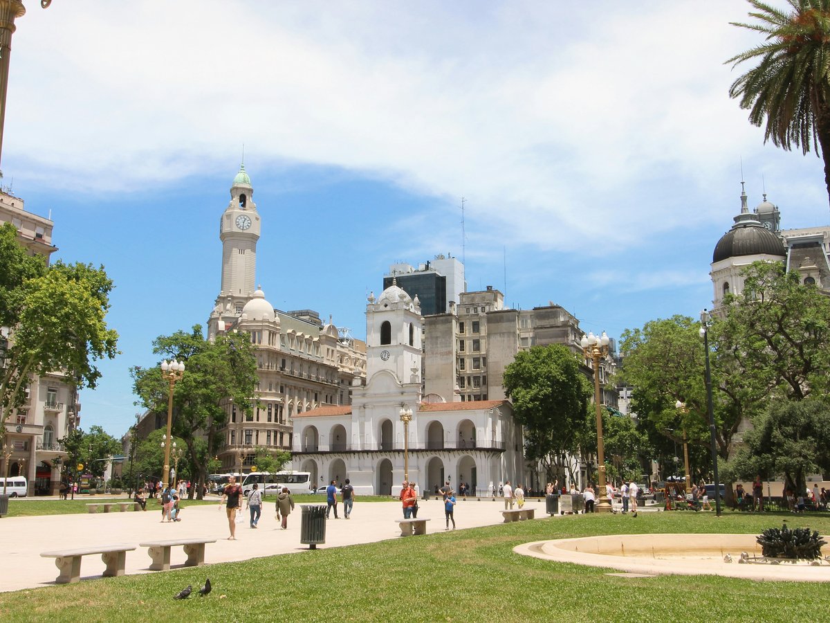
5 Plaza de Mayo
Monserrat, Ciudad Autónoma de Buenos Aires (coordinates -34.6083, -58.3719)The civic heart of the country, the address every Argentine political story eventually returns to.
Founded on the coordinates -34.6083, -58.3719, Plaza de Mayo is the one square in Buenos Aires you cannot substitute for another. Skip the impulse to photograph it in 10 minutes and move on; the plaza only makes sense if you stand still on it long enough to notice which buildings face which, and why the demonstrations always end here. Thursday afternoons carry the weekly march of the Madres, and the rhythm of the plaza changes with them. There is no ticketed monument to queue for and no admissions desk to negotiate; the square is the exhibit. Bring nothing but time, walk its edges once, then sit on a bench facing the Casa Rosada and let the civic weight of the address settle before you move on to the next stop.
-
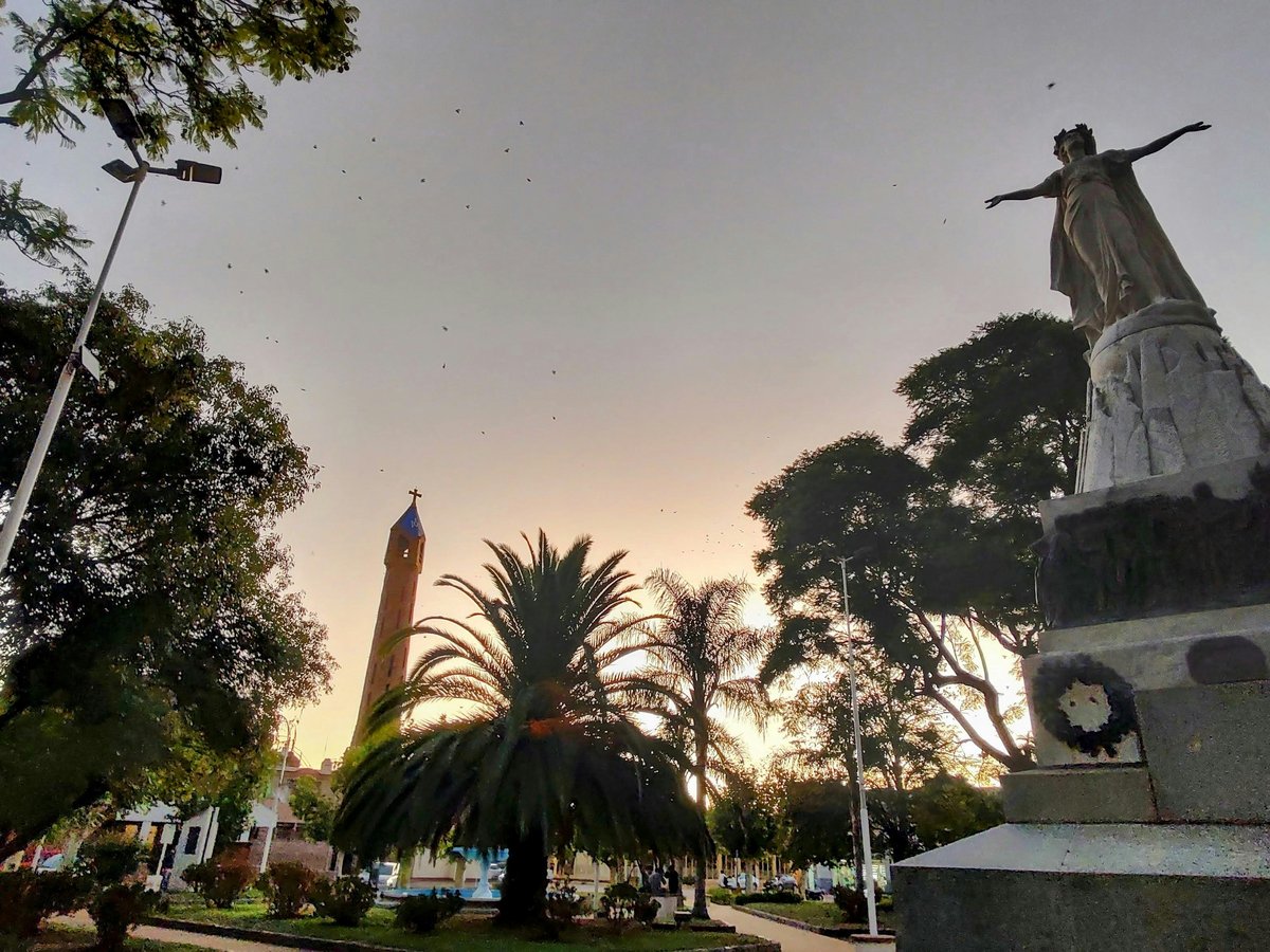
6 Plaza San Martín
Retiro, Ciudad Autónoma de Buenos Aires (coordinates -34.5944, -58.3750)The tree-shaded slope above Retiro station, the northern hinge between the port and the avenues.
The slope at -34.5944, -58.3750 is where Plaza San Martín does something few of the city's squares manage: it changes elevation. Skip the flat downtown squares and come up here when the sun is high, because the old trees hold real shade and the benches face inward rather than out to traffic. Weekdays between 13:00 and 14:30 the plaza fills and empties in a single tide of Retiro office workers; come just after, when the benches free up. It is a plaza that pays back a slow lap on foot, a look at the war memorial on its lower terrace and a pause to see how Retiro station and the avenues fold around it. Fifteen unhurried minutes is enough, and it is genuinely free.
-
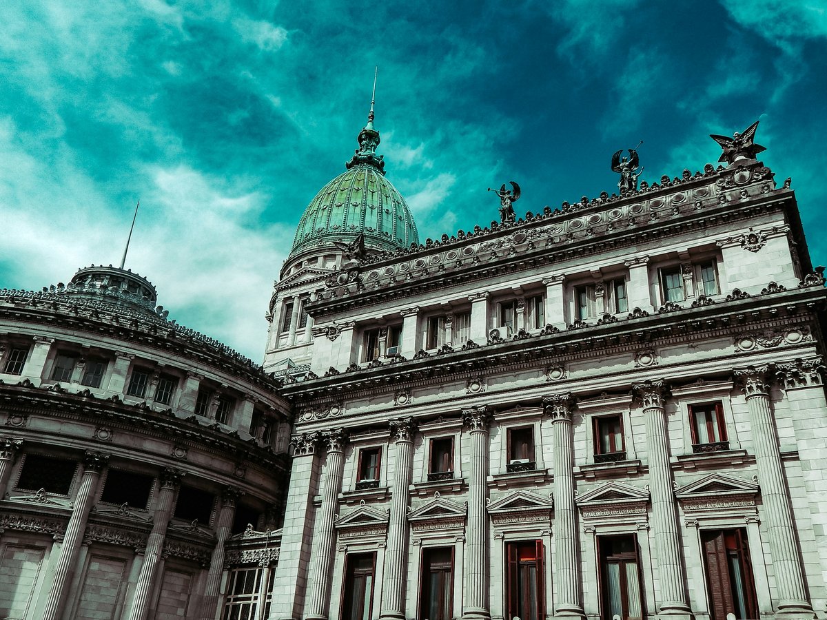
7 Congressional Plaza
Balvanera, Ciudad Autónoma de Buenos Aires (coordinates -34.6097, -58.3902)The plaza facing the National Congress, the western bookend of the Avenida de Mayo axis.
At -34.6097, -58.3902, Congressional Plaza closes the western end of the Avenida de Mayo axis, and the reason to walk here rather than take a bus is precisely that walk. The early morning is the best hour, before the pigeons and the placard-sellers arrive, when you can read the monument on its own terms. Don't try to see it in the same 30 minutes as Plaza de Mayo; the two squares are the same civic sentence at opposite ends, and rushing between them turns both into scenery. Sit on the north side to keep the sun off your face, watch how the Congress building anchors the sightline, and note the way the plaza is used as a staging ground for protests. It is a working political square, not a decorative one.
-
8 Plaza de la República
San Nicolás, Ciudad Autónoma de Buenos Aires (coordinates -34.6037, -58.3815)The traffic-island plaza that holds the Obelisco, the city's default meeting point.
Coordinates -34.6037, -58.3815 land you at Plaza de la República, which is the plaza most tourists photograph without knowing its name. Skip the reflex to treat it as a 5-minute Obelisco selfie stop and instead cross to it deliberately, using one of the pedestrian phases across the 9 de Julio. Locals treat this square as the city's default rendezvous, the address you name when a friend cannot find a bar, and the reason works: the sightlines are unambiguous. Come at night when the traffic thins and the plaza reads as a proper civic space rather than a roundabout; come again by day and notice how the avenues splay off from it. It is not restful and it is not meant to be; it is the pin the whole street grid seems to rotate around.
-
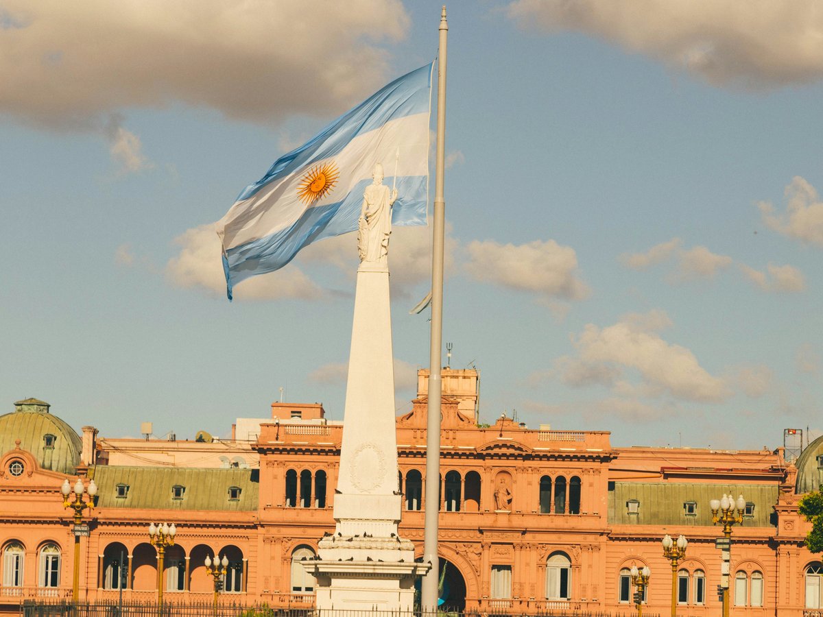
9 Argentine Air Force Square
Retiro, Ciudad Autónoma de Buenos Aires (coordinates -34.5924, -58.3741)The Retiro square below the British-built clock tower, a quieter alternative to Plaza San Martín next door.
The address at -34.5924, -58.3741 puts Argentine Air Force Square right next to Plaza San Martín, and the case for stopping here is that most visitors don't. It is the calmer half of the pair, useful when San Martín is thick with lunching office workers. Don't try to visit both in the same 20-minute stroll; each rewards a proper sit, and the Retiro end of the city gives you an excuse to slow down between the port and the avenues. Come in the late afternoon when the tower catches the low sun and the traffic noise softens, sit on the northern edge to keep the wind off, and use the pause to plan the walk down to Florida or up toward the Recoleta cemetery. It is a free plaza that earns its slot by being deliberately underused.
-
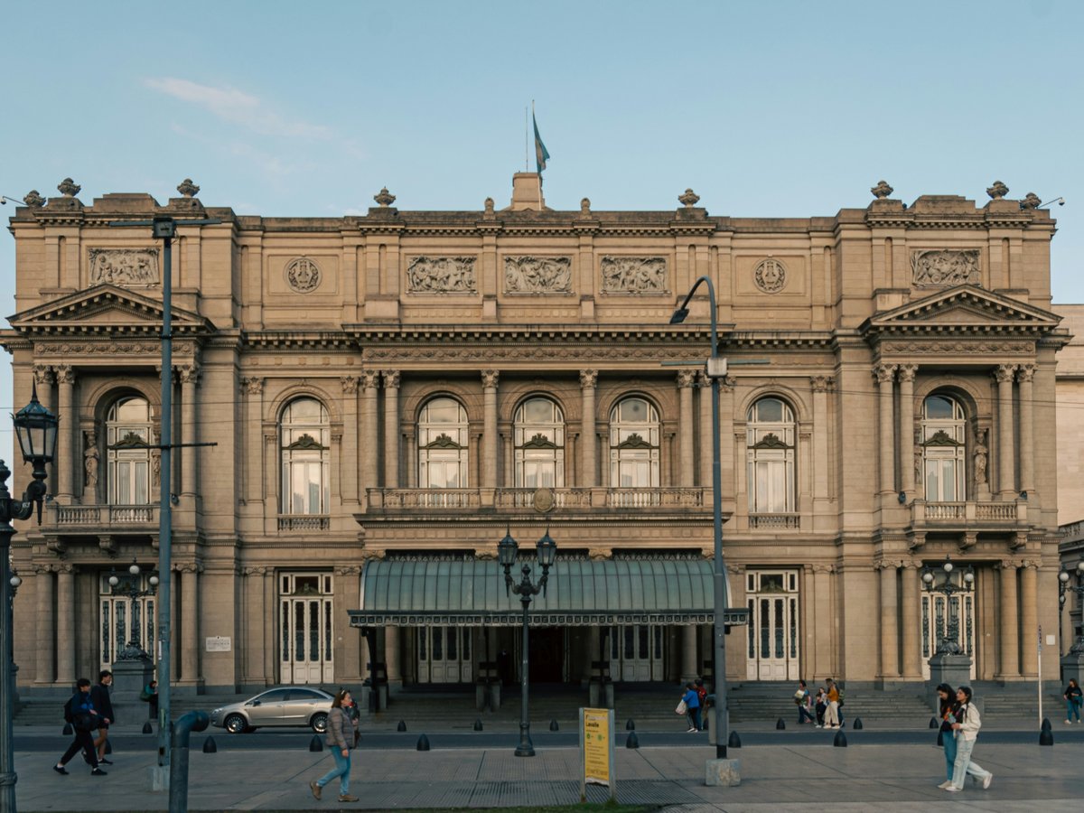
10 plaza Lavalle
San Nicolás, Ciudad Autónoma de Buenos Aires (coordinates -34.6021, -58.3846)The tree-lined square behind the Teatro Colón, a rare pocket of quiet in the theatre district.
At -34.6021, -58.3846, Plaza Lavalle is the quiet counterweight to the theatre-district blocks that surround it, and the case for a stop is simple: shade and benches within 5 minutes of the Obelisco. Between 13:00 and 14:30 the benches fill and the pigeons behave; arrive earlier or wait it out. Skip the impulse to march past on the way to the Colón and instead cross the plaza on the diagonal, which forces you to notice the older trees and the way the surrounding institutional buildings frame it. It is one of the few Microcentro squares where you can sit for 30 minutes and hear something other than traffic, and that alone makes it worth putting on a free-afternoon list.
-
11 plaza Miserere
Balvanera, Ciudad Autónoma de Buenos Aires (coordinates -34.6097, -58.4074)The working transit plaza in front of Once station, the entry point to a very different Buenos Aires.
The plaza at -34.6097, -58.4074 fronts one of the busiest rail terminals in the city, and Plaza Miserere is on this list precisely because it will not look like the other 11. Don't compare it to Plaza San Martín; that comparison misses the point. This is a working transit square, the ground level of the Once neighbourhood, and a visitor who walks it in daylight gets the version of Buenos Aires that the Palermo circuit hides. Come between 10:00 and 15:00, keep your bag closed and your attention up, and take 15 minutes to notice the shops, the languages and the pace. It is not a decorative plaza and it is not pretending to be; it is a piece of civic infrastructure that is free to walk, and that is the recommendation.
-
12 plaza Dorrego
San Telmo, Ciudad Autónoma de Buenos Aires (coordinates -34.6206, -58.3717)The San Telmo square that turns into the Sunday antiques market, and empties out beautifully every other day.
At -34.6206, -58.3717, Plaza Dorrego is the second-oldest public square in the city by local reckoning, and the honest recommendation is to visit it twice. Avoid the Sunday-only crowd if you can; the antiques market is a real event, but the plaza itself is more legible on a Tuesday morning when the cafés put out chairs and the cobbles look their age. The locals eat here in the late afternoon, when the light is low and the buskers stake out corners rather than the whole square. Sit at a table on the north side for 45 minutes, order the cheapest thing on the menu, and watch how San Telmo moves around a square it has been organising itself around for two centuries. That is the visit; anything more is a bonus.
Last verified by automated review (v1.7.2_accom-wave-221-20260903074141) on . What is automated review?