How do I get around Las Vegas?
Uber and Lyft for everything beyond a 3-casino walking radius. The Strip stretches 4 miles, but pedestrian skybridges and casino-floor crossings double actual walking time. Summer daytime temperatures reach 40°C on the pavement. The Deuce bus runs 24 hours on Las Vegas Boulevard, $8 for a day pass. The monorail covers only the east side of the Strip and does not reach the airport.
Book the connection
One search across trains, buses & flights — live times and prices for Las Vegas.
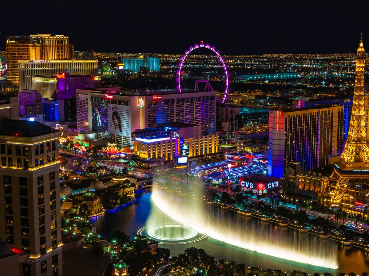
The Strip looks like a straight 4-mile walk on Google Maps. It is not. Each casino-to-casino hop involves escalators up to pedestrian skybridges, a trek across a gaming floor the size of a football field where slot machine chimes drown out conversation and the carpet swallows all sense of direction, then escalators back down to sidewalk level. Caesars Palace alone takes 15 minutes to walk through. In June, the sidewalk concrete radiates stored heat well past sunset, and at 14% humidity your water bottle empties before you notice you're thirsty. The blast of refrigerated air every time you duck into a casino entrance feels like a reward, and it is meant to be. Budget 20 minutes per block, not the 5 your phone suggests. The practical walking zone for any single outing tops out at about 3 casinos in either direction from your hotel.
Uber and Lyft are the correct answer for everything beyond that radius. A ride from Mandalay Bay at the south end to the Wynn at the north runs $12-18 depending on surge, 10 minutes versus 45 on foot. Harry Reid International Airport to mid-Strip costs $15-22 and takes about 12 minutes. Every major casino has a designated rideshare pickup zone, usually on the ground floor of the parking structure. Look for the purple signs at MGM properties, orange at Caesars locations. Taxis still line up at the same stands they have used since the 1990s, but they cost 15-20% more than ridehail for identical routes and you cannot preview the fare. One thing worth knowing if you do take a cab from the airport. The direct route costs about $19-27 to mid-Strip. If your driver gets on I-215 or I-15, that is the long-haul scam, a detour that adds $10-15 to the meter. Note the cab number and report it to the Nevada Taxicab Authority.
The RTC Deuce bus runs 24 hours on Las Vegas Boulevard, stopping every quarter mile from the South Strip Transit Terminal near Mandalay Bay to the Downtown Transportation Center on Casino Center Boulevard. A 24-hour pass costs $8, a 3-day pass $20. It is slow. Peak-hour crawls between Flamingo Road and Spring Mountain Road can mean 25 minutes for 1 mile. The SDX express bus skips some stops but sits in the same traffic. The Las Vegas Monorail runs on the east side of the Strip from MGM Grand to the Sahara, with 7 stations. A single ride is $5, a day pass $13. It works when your hotel and your destination both sit on the east side of the Boulevard. It does not reach the airport, Fremont Street, or anything west of Las Vegas Boulevard.
Downtown Fremont Street sits 4 miles north of mid-Strip. Do not walk it. The stretch of Las Vegas Boulevard between the Stratosphere and Fremont passes through a corridor of closed storefronts with little shade and the kind of quiet that feels wrong in a city this loud. An Uber from the Bellagio to the Golden Nugget takes 12 minutes and costs $10-15. If you rent a car for day trips, know that Strip parking changed after 2016. Most MGM Resorts properties, including the Bellagio, Aria, Park MGM, and Mandalay Bay, now charge $18-22 per day for self-parking. Caesars Entertainment properties still offer free self-parking. Off the Strip, free parking is standard. A rental makes sense only if you are heading to Red Rock Canyon, 30 minutes west, or the Valley of Fire, 60 minutes northeast. For a Strip-only visit, a car is dead weight.
On-the-ground: ride-hail apps work.
Primary modes of transit
- Ridehail (Uber/Lyft)
- Walking (Strip only)
- RTC Deuce bus
- Las Vegas Monorail
- Taxi
- Rental car
Ready to book the connection?
Compare trains, buses & flights to and around Las Vegas on Omio — live times & prices in one search.
Compare on Omio →More transport questions
How do I get from the airport to Las Vegas?
Harry Reid International Airport (LAS) sits about 2.5 miles south of the Las Vegas Strip. Take a rideshare (Uber or Lyft) for $15-25 and 10-15 minutes to most Strip hotels. Pickup is on Level 2 of the parking garage at both terminals. Taxis cost $5-10 more and carry a common long-haul scam risk.
Full answerHow do I get to Las Vegas?
Harry Reid International Airport (LAS) sits 8 km south of the Las Vegas Strip, with nonstop flights from most major US cities and select international destinations. Southwest, Spirit, and Frontier carry the bulk of budget domestic traffic. From Los Angeles, the 430-km I-15 drive takes 4 hours. Domestic round-trip fares average $200-400.
Full answerWhat are the best day trips from Las Vegas?
Valley of Fire State Park, 80 km northeast on I-15, is the best single-day trip from Las Vegas. It's a 50-minute drive with $10 entry, and the Fire Wave trail keeps hikers and photographers happy for 3 hours. Red Rock Canyon (27 km west, $15) works as a half-day. Mount Charleston sits 15°C cooler than the Strip. Hoover Dam rounds out the top picks at 48 km southeast.
Full answerLast verified by automated review (v1.7.2) on . What is automated review?