
Palm Beach sits at the northwestern shoulder of Aruba, and the twelve places below are the ones worth carving a morning or an afternoon out of the beach chair for. This is not a list of resorts or duty-free arcades. It is a working inventory of the churches, chapels, civic halls, water towers, wrecks and wild coast that give the island a spine older than any hotel on the strip. Some are a short taxi from the Palm Beach hotels; others ask for a jeep, a snorkel, or both. What ties them together is that each has a fixed address on the map, a verifiable footprint, and a reason to leave the sand for. Read this as an editor's shortlist for a first-time visitor who wants to leave knowing something about Aruba that the poolside cocktail menu will not teach: where the island prays, where it performs, where it remembers its shipwrecks, and where its freshwater still hides in the rock.
-
1 Protestant Church
Wilhelminastraat 1Oranjestad's working Protestant congregation, in the heart of the capital
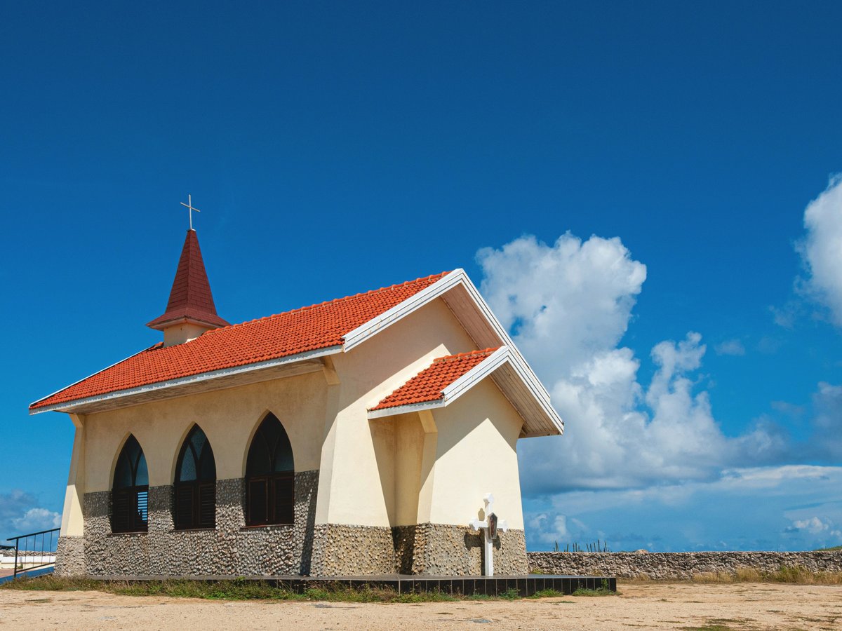
At Wilhelminastraat 1, the Protestant Church anchors a corner of Oranjestad that most cruise-day visitors walk straight past on their way to the duty-free strip. Skip the souvenir arcades a block over and give this one twenty minutes: it is a living congregation, not a museum, and the parish keeps its own site at protestantsekerkaruba.com with service times posted rather than tour hours. The building sits at 12.5193, -70.0366, close enough to the harbour that you can fold it into a morning walk and still be back for lunch. Come on a Sunday if you want to hear the room used the way it was built to be used; come on a weekday if you want it quiet. Either way, Aruba's Protestant history is not a footnote, and this address is where that story is still being written.
-
2 Cas di Cultura
Vondelaan 2Aruba's national arts centre, where the island's own performers program the calendar
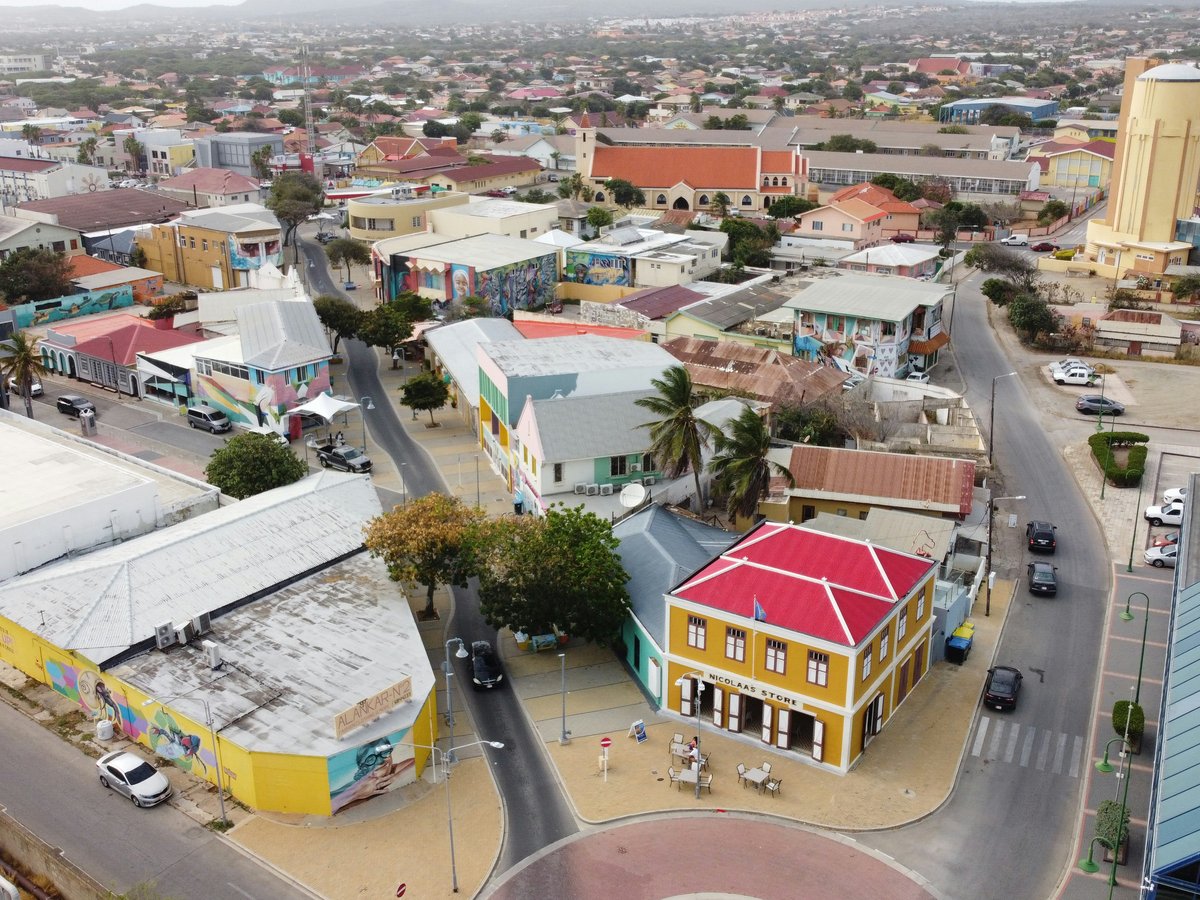
Vondelaan 2 is the address to check before you check the resort's evening entertainment. Cas di Cultura is Oranjestad's arts centre, and the locals know it as the room where island theatre, dance and music happen, not the buffet-and-limbo circuit sold at the front desk. Don't bother with the hotel showrooms if there is anything on the calendar at casdicultura.aw; the ticket is cheaper, the audience is Aruban, and the program is a straight look at what the island's own artists are making this month. It sits at 12.5096, -70.0270, a short ride from the Palm Beach hotels and walkable from most of central Oranjestad. Book ahead when you can: the room is not enormous, and a good night sells through without a tourist promoter in sight.
-
3 St Ann's Church
4 NoordThe parish church of Noord, closest of the historic churches to the Palm Beach strip
The address 4 Noord puts St Ann's Church at the exact village that most Palm Beach visitors drive through without ever stopping. That is reason enough to stop: this is Noord's own parish church, not a hotel-adjacent photo opportunity, and it is the nearest of the island's historic churches to where you are sleeping. Skip the resort-arranged island tours that treat every church as a five-minute drive-by and come here on your own instead. The coordinates 12.5625, -70.0313 place it a few minutes inland from the high-rise strip, easy on foot from parts of Noord and a very short taxi from the beach. Look for service times posted on the door, keep your shoulders covered, and give the interior a proper ten minutes rather than a hallway glance from the vestibule.
-
4 St. Francis of Assisi Church, Oranjestad
J.E. Irausquinplein 3Oranjestad's Catholic anchor on a named civic square
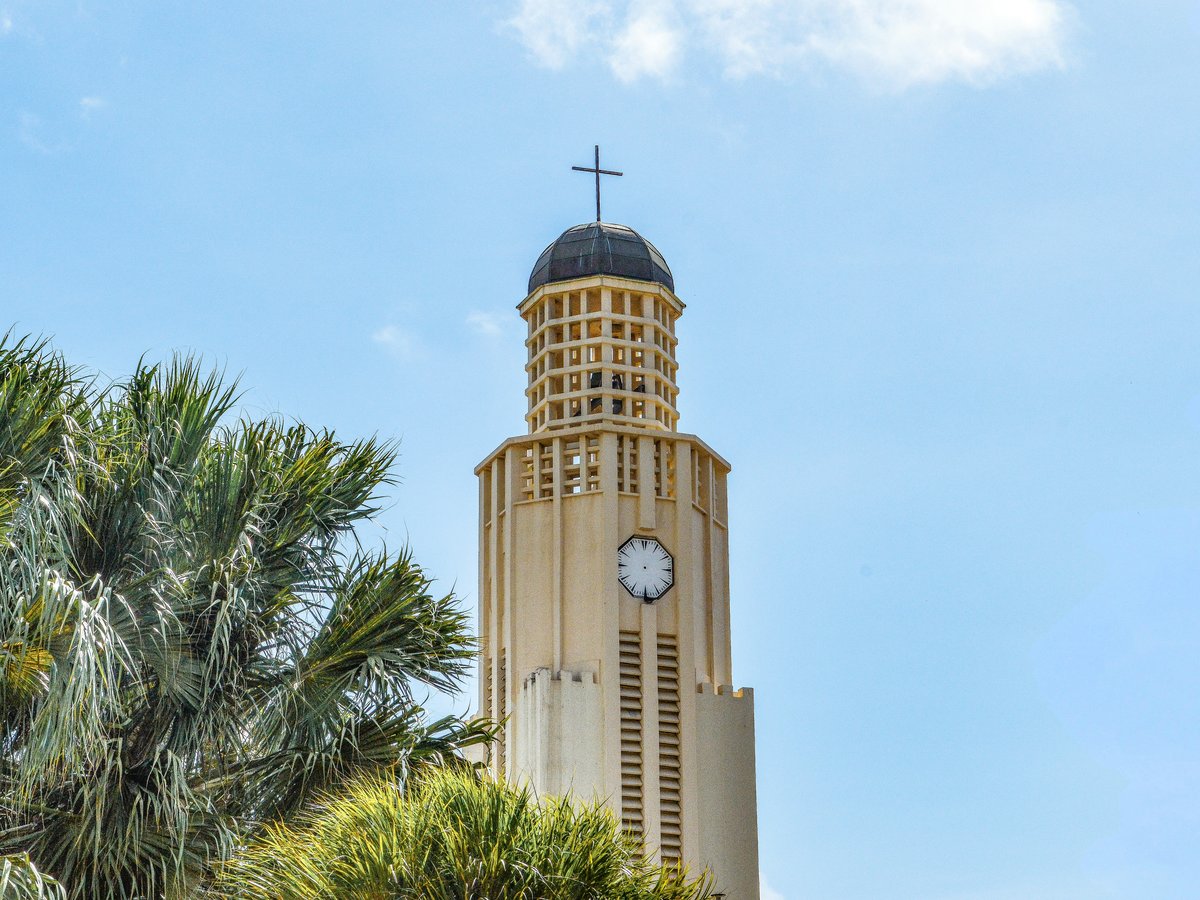
J.E. Irausquinplein 3 tells you what to expect before you arrive: a Catholic church sited on a named civic square in central Oranjestad, not tucked away on a back lane. St. Francis of Assisi is a working parish in Aruba, and the locals treat the square around it as a real public room rather than a set-piece for photos. Avoid the tour-bus circuit that gives you six minutes at the door; sit on a bench on the plein for a while, watch who comes and goes, then step inside. The coordinates are 12.5229, -70.0347, which puts it a block or two from the harbour-side arcades and inside easy walking range of the Protestant Church at Wilhelminastraat 1. Pair the two on a single morning walk and you will see Oranjestad's two main Christian congregations in the space of an hour.
-
5 St. Philomena's Church
Paradera 51Paradera's parish church, deep in the island's interior
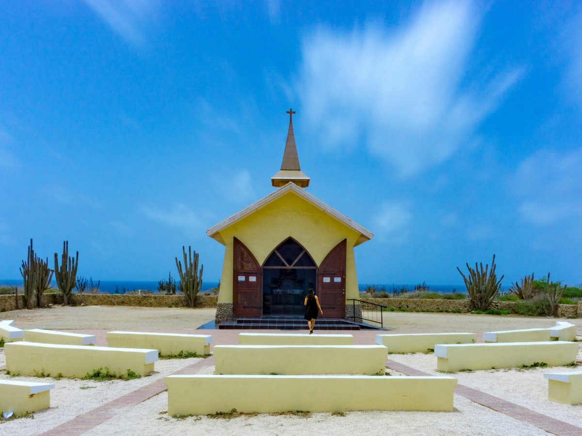
At Paradera 51 the map pulls you off the coast and into the middle of the island, which is exactly the point of coming. St. Philomena's is Paradera's parish church, and the drive out is the first honest look most Palm Beach guests get at Aruba's interior: cunucu houses, low walls, the odd goat. Skip the packaged countryside tours that stop for ten minutes and sell you a t-shirt; drive yourself, park on the street, and give the church a proper visit. The coordinates 12.5363, -70.0042 put it a genuine cross-island run from the Palm Beach hotels, so treat it as an anchor for a morning rather than a quick detour. Read the noticeboard, respect the service if one is running, and take the long way back through the interior roads rather than doubling straight to the highway.
-
6 Watertower Oranjestad
J.G. Emanstraat 67A protected piece of Aruba's civic infrastructure, still standing in central Oranjestad
The address J.G. Emanstraat 67 belongs to the Oranjestad Watertower, listed as a cultural heritage site in Aruba rather than as a working utility. Skip the postcard-shop version of Oranjestad's skyline and look up at this one instead: the tower is what a small Caribbean capital chose to protect when the water system moved on, and it is a more honest civic monument than anything the cruise pier will sell you. The coordinates 12.5211, -70.0339 place it a short walk from the Protestant Church at Wilhelminastraat 1 and the St. Francis parish on J.E. Irausquinplein 3, so the three fit onto one deliberate morning route through the capital. Take the walk on foot; a taxi will get you there in two minutes and teach you nothing about how the streets around it fit together.
-
7 Kerki Protestant Piedra Plat
Piedra Plat 92A Protestant congregation in the island's interior, off the resort circuit entirely
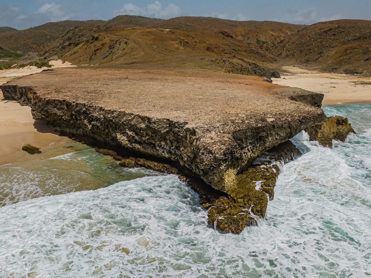
Piedra Plat 92 is the kind of address that will not appear in any hotel concierge folder, and that is the reason to write it down. The Kerki Protestant Piedra Plat is a church in Piedra Plat, Aruba, a hamlet in the interior that most visitors never name, let alone drive to. The locals go inland to worship at addresses like this one; the coach tours do not. The coordinates 12.5222, -69.9893 put it east of Oranjestad, roughly on a line with the capital but well away from the coast, and the drive out is a straight lesson in how small Aruba's inland communities really are. Come at a service time if you want to see it used; come on a quiet weekday if you want the building and the road to yourself. Either way, this is the countryside stop that pays off the rental car.
-
8 Watertower San Nicolas
BernardstraatA converted water tower that now works as a museum in the island's second city
Bernardstraat runs through San Nicolas, and the water tower at that address is now a water tower and museum in San Nicolas, Aruba. Skip the standard Oranjestad-only day and pair this with a proper look around San Nicolas itself; the island's second town has a different rhythm from the capital, and the museum in the tower is the best excuse to slow down and read the walls. The coordinates 12.4359, -69.9091 place it well south of Palm Beach, on the far end of the island, so bank on it eating a real chunk of the day rather than a lunch break. Check the opening notice on the door before you leave the hotel; a converted civic tower does not keep resort hours, and the visit is worth timing to when the museum room is open.
-
9 Alto Vista Chapel
Alto Vista, coordinates 12.5759, -70.0109A hilltop chapel on Aruba's windswept north shore
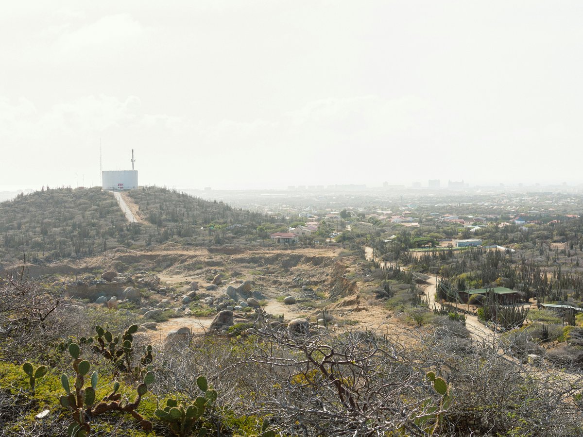
The coordinates 12.5759, -70.0109 put Alto Vista on a low hill above the north coast, and this chapel in Aruba is the one country stop even a short-stay visitor from Palm Beach should make time for. Don't bother with the packaged north-shore jeep circuits that give it eight minutes between photo stops; drive yourself, park below, walk up, and stand there long enough for the wind off the sea to make the point that this is not the leeward side of the island. The chapel is small, whitewashed, and the road up to it is a landmark in its own right. Come early to avoid the tour vans, or come late in the afternoon when the light is honest and the crowd has thinned. Bring water; there is nothing to buy at the door.
-
10 MS Antilla
Off the northwest coast at 12.6019, -70.0578Aruba's landmark wreck dive, right off the Palm Beach coast
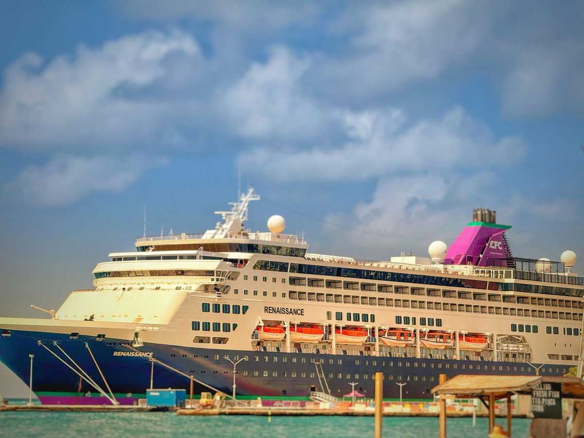
At 12.6019, -70.0578, just off the northwest coast, the MS Antilla is a ship that has been sitting on the seabed long enough to have grown its own reef. This is the wreck of Palm Beach: close in, well documented, and reachable on a half-day trip from any of the operators along the strip. Skip the glass-bottom booze cruises that circle the hull for a photo op; if you can swim, book a proper snorkel or dive charter and get in the water above her. The hull breaks the surface enough to give non-divers something to see, and snorkellers with a decent mask will get a real look at the upper structure. Pay attention to the sea conditions posted the morning of your trip and pick a boat that will anchor over the wreck rather than a nearby patch reef.
-
11 Conchi Natural Pool
Arikok interior, coordinates 12.5246, -69.9287The island's protected natural swimming pool, cut into the north-shore rock
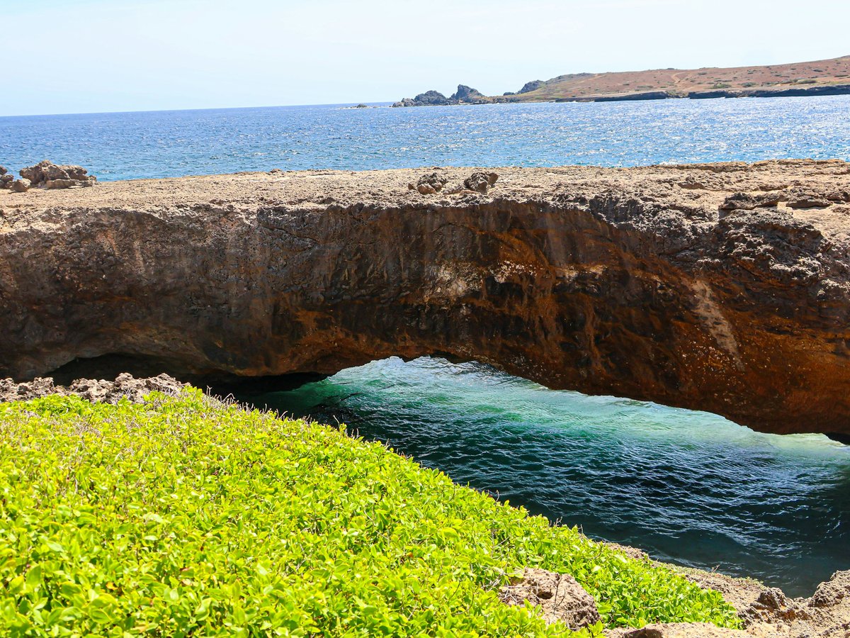
The coordinates 12.5246, -69.9287 mark Conchi, a natural rock pool held as sacred, and reaching it is the whole point. Skip the smooth-road tours that promise a beach day and drop you at a shallow cove; a proper trip to Conchi is a rough drive or a real walk, and the pool at the end is calmer than the surf breaking a few metres away over the rocks. Treat the place as sacred, because that is what the record calls it: swim in, do not shout, do not leave anything on the rocks. Go with a licensed operator who knows the access route, or drive it yourself only in something suited to the terrain. Bring water and a way to carry your rubbish out. This is the north-shore experience that will still be in your head a year after the resort has blurred.
-
12 Fontein
Fontein, coordinates 12.4929, -69.9062A named inland settlement whose name literally means the island's water source
At 12.4929, -69.9062, Fontein is a human settlement in Aruba on the far side of the island from the Palm Beach hotels. The name is the reason to come: on an island this dry, a place literally called Fontein is a landmark about where water once was, and the drive out is a lesson in how small Aruba is once you leave the leeward coast. Don't bother with the resort desk's version of a day trip if this is on the plan; you need your own wheels, a paper map or an offline one, and a willingness to poke around a rural corner without a tour guide's script. Pair it with a Conchi run if the conditions on the day are right, or with San Nicolas at Bernardstraat to make an honest full-day inland loop.
Last verified by automated review (v1.7.2_curated-wave-1693-20260916110054) on . What is automated review?